Transport Functions
Rail
Road
Hub Profile
Place type
Urban district
Region
North Rhine-Westphalia
Time zone
Europe/Berlin
Elevation
46 m
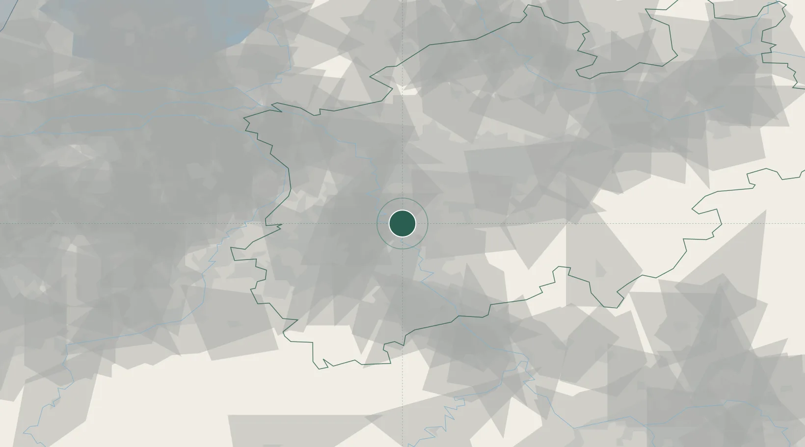
Location
Nearby Logistics Neighbours
Cities
- 1Erkrath4 km
- 2Grafenberg/Düsseldorf6 km
- 3Dormagen6 km
- 4Düsseldorf10 km
- 5Neuss12 km
Airports
- 1Düsseldorf Airport14 km
- 2Mönchengladbach Airport26 km
- 3Cologne Bonn Airport40 km
- 4Nörvenich Air Base42 km
- 5Geilenkirchen Air Base63 km
Trade Zones
- 1Freeport of Duisburg35 km
- 2Rheinische Revier SWZ46 km
- 3Luxembourg Free Port178 km
- 4ZFU Ronde Couture221 km
- 5ZFU La Cité Behren-lès-Forbach224 km
DatabookThe Record of Consolidated Knowledge
Germany beyond logistics?