Transport Functions
Rail
Road
Hub Profile
Place type
Populated place
Region
Saxony
Time zone
Europe/Berlin
Elevation
125 m
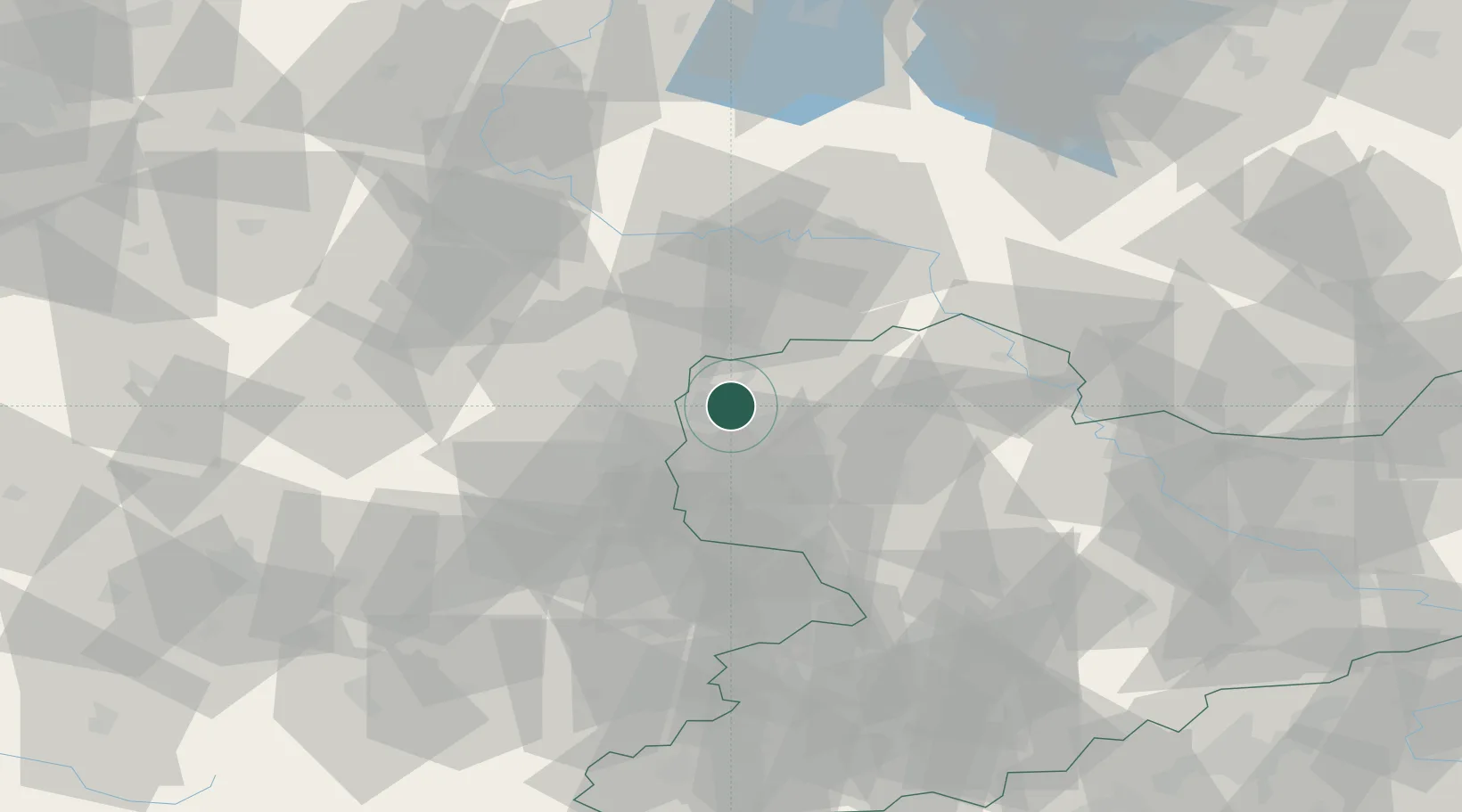
Location
Nearby Logistics Neighbours
Cities
- 1Leipzig5 km
- 2Böhlitz-Ehrenberg8 km
- 3Möckern8 km
- 4Dölzig11 km
- 5Krostitz11 km
Airports
- 1Leipzig/Halle Airport5 km
- 2Leipzig–Altenburg Airport52 km
- 3Zerbst Airfield64 km
- 4Holzdorf Air Base71 km
- 5Erfurt-Weimar Airport106 km
Trade Zones
DatabookThe Record of Consolidated Knowledge
Germany beyond logistics?