Transport Functions
Rail
Road
Airport
Postal
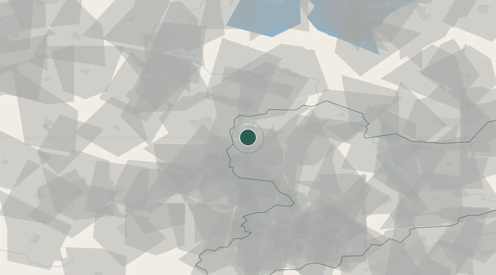
Hub Profile
Place type
District seat
Region
Saxony
Population
504,971
Time zone
Europe/Berlin
Elevation
116 m
Logistics facilities
2
Location
Nearby Logistics Neighbours
Cities
- 1Böhlitz-Ehrenberg3 km
- 2Möckern4 km
- 3Radefeld5 km
- 4Dölzig7 km
- 5Günthersdorf10 km
Airports
- 1Leipzig/Halle Airport5 km
- 2Leipzig–Altenburg Airport48 km
- 3Zerbst Airfield68 km
- 4Holzdorf Air Base73 km
- 5Erfurt-Weimar Airport104 km
Trade Zones
DatabookThe Record of Consolidated Knowledge
Germany beyond logistics?