Transport Functions
Rail
Road
Hub Profile
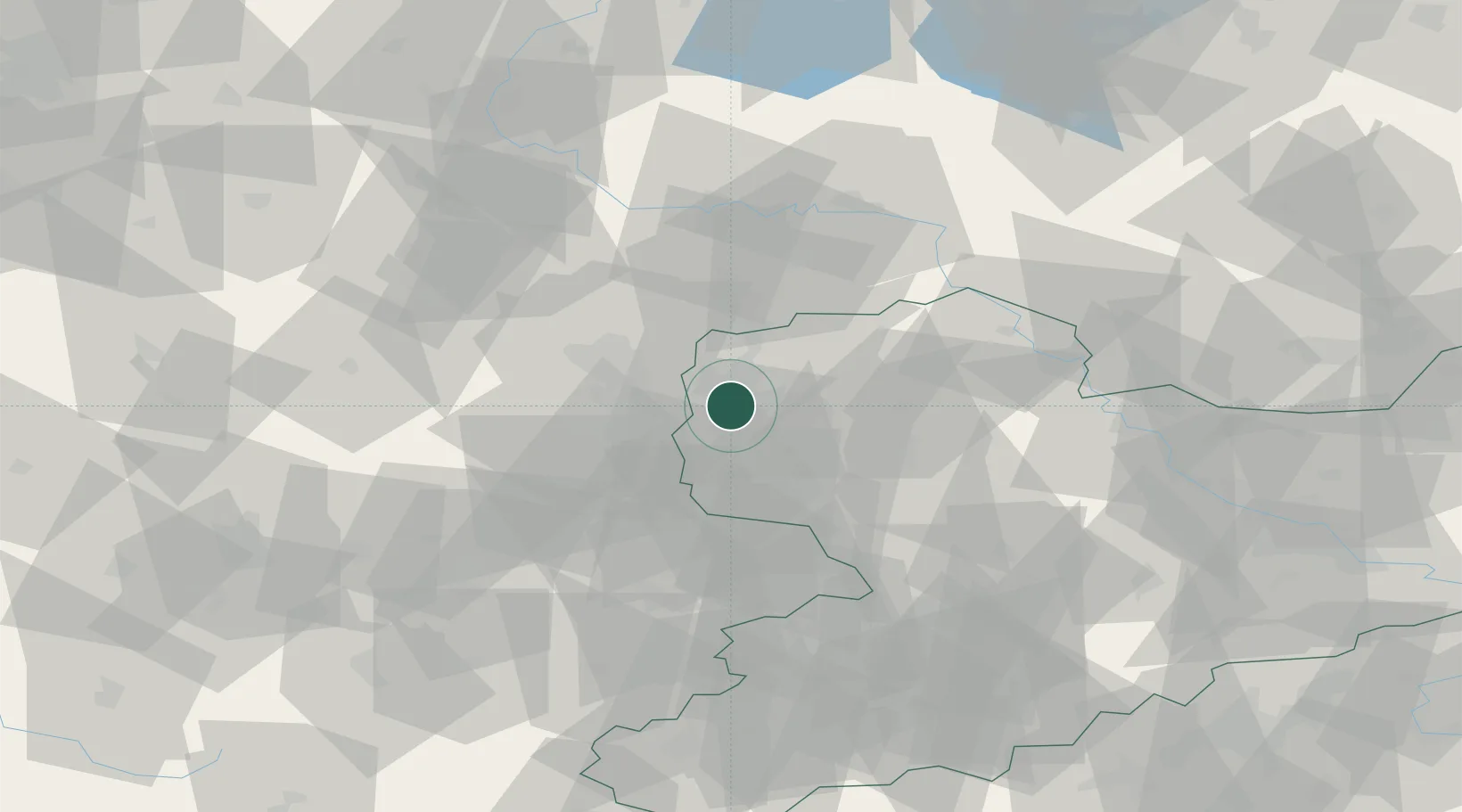
Region
SN
Location
Nearby Logistics Neighbours
Cities
- 1Leipzig3 km
- 2Möckern4 km
- 3Dölzig5 km
- 4Radefeld8 km
- 5Günthersdorf8 km
Airports
- 1Leipzig/Halle Airport7 km
- 2Leipzig–Altenburg Airport46 km
- 3Zerbst Airfield71 km
- 4Holzdorf Air Base76 km
- 5Erfurt-Weimar Airport102 km
Trade Zones
DatabookThe Record of Consolidated Knowledge
Germany beyond logistics?