Transport Functions
Multimodal
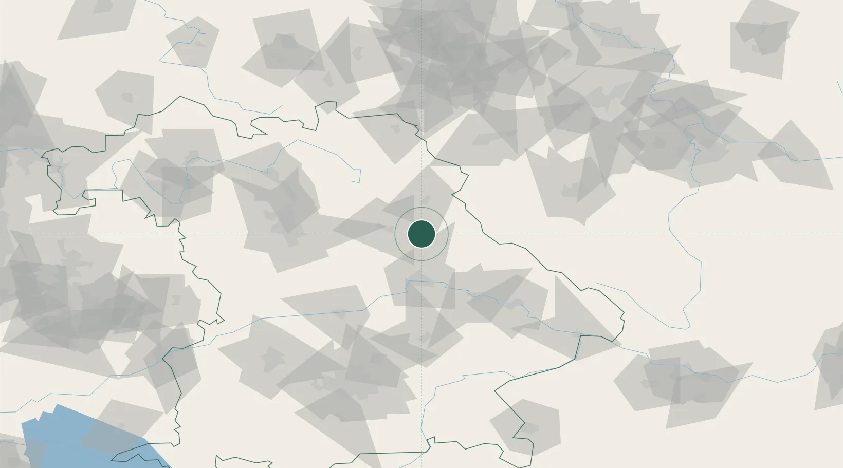
Hub Profile
Place type
Local administrative seat
Region
Bavaria
Population
1,683
Time zone
Europe/Berlin
Elevation
369 m
Location
Nearby Logistics Neighbours
Cities
- 1Wernberg-Köblitz13 km
- 2Stein13 km
- 3Moosburg16 km
- 4Pissau17 km
- 5Haselmühl18 km
Ports
- 1Nogaro414 km
- 2Monfalcone418 km
- 3Grado423 km
- 4Trieste436 km
- 5Muggia442 km
Airports
- 1Hohenfels Army Airfield31 km
- 2Grafenwöhr Army Air Field34 km
- 3Bayreuth Airport73 km
- 4Nuremberg Airport77 km
- 5Plzeň-Líně Airport87 km
Trade Zones
DatabookThe Record of Consolidated Knowledge
Germany beyond logistics?