Transport Functions
Multimodal
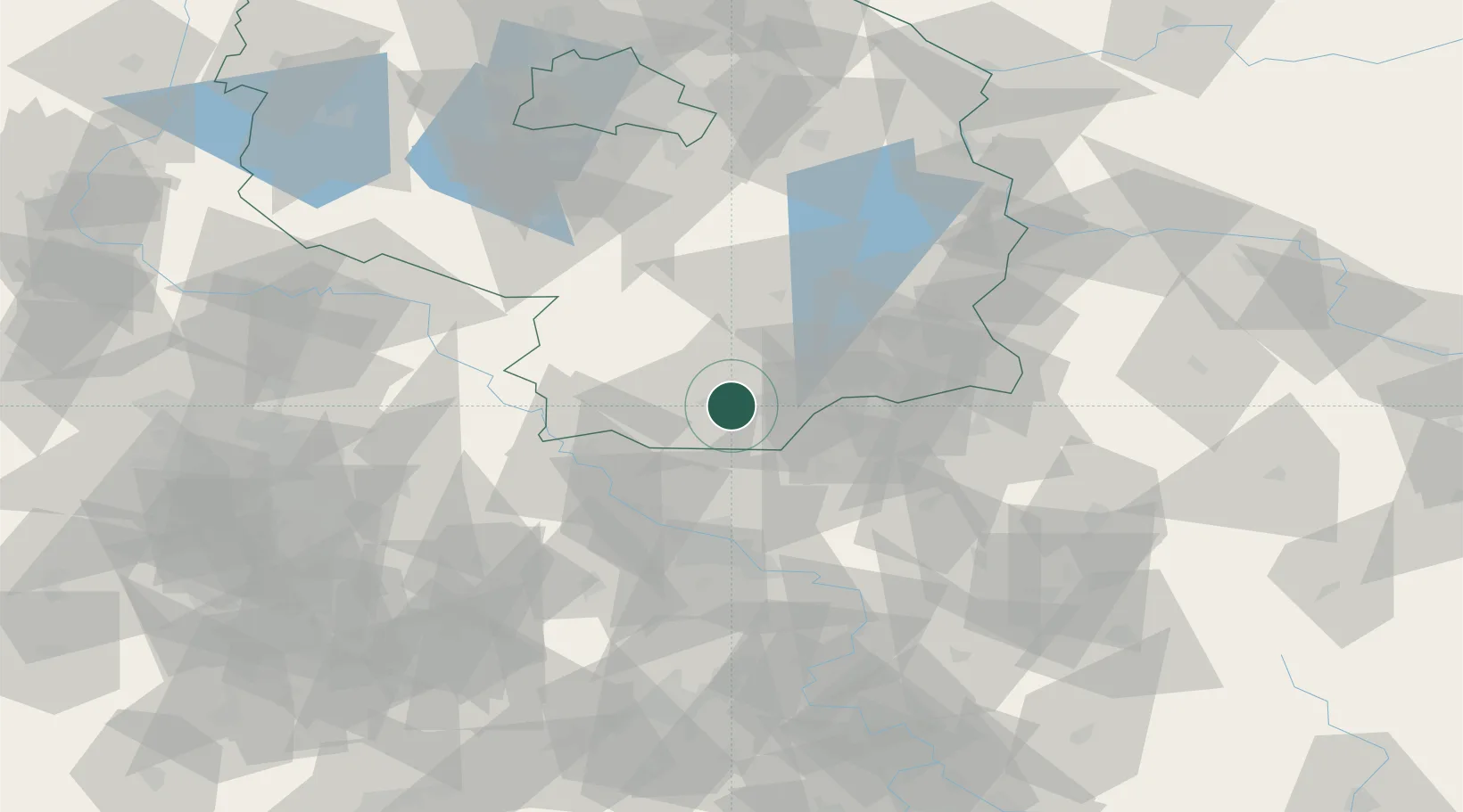
Hub Profile
Place type
Populated place
Region
Brandenburg
Population
18,990
Time zone
Europe/Berlin
Elevation
99 m
Location
Nearby Logistics Neighbours
Cities
- 1Ruhland6 km
- 2Guteborn13 km
- 3Plessa14 km
- 4Ortrand15 km
- 5Senftenberg15 km
Ports
- 1Szczecin219 km
- 2Police236 km
- 3Swinoujscie271 km
- 4Wolgast284 km
- 5Wismar310 km
Airports
- 1Dresden Airport41 km
- 2Holzdorf Air Base53 km
- 3Rothenburg/Görlitz Airfield81 km
- 4Berlin Brandenburg Airport98 km
- 5Leipzig–Altenburg Airport107 km
Trade Zones
DatabookThe Record of Consolidated Knowledge
Germany beyond logistics?