Transport Functions
Rail
Road
Hub Profile
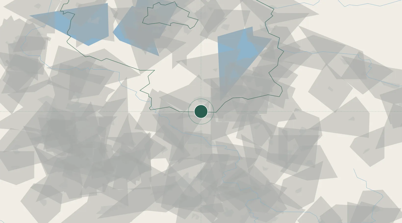
Place type
Populated place
Region
Brandenburg
Population
2,507
Time zone
Europe/Berlin
Elevation
107 m
Location
Nearby Logistics Neighbours
Cities
- 1Schönfeld9 km
- 2Lampertswalde11 km
- 3Guteborn12 km
- 4Ruhland13 km
- 5Laussnitz15 km
Ports
- 1Szczecin234 km
- 2Police250 km
- 3Swinoujscie285 km
- 4Wolgast298 km
- 5Wismar322 km
Airports
- 1Dresden Airport26 km
- 2Holzdorf Air Base62 km
- 3Rothenburg/Görlitz Airfield81 km
- 4Leipzig–Altenburg Airport99 km
- 5Leipzig/Halle Airport108 km
Trade Zones
DatabookThe Record of Consolidated Knowledge
Germany beyond logistics?