Transport Functions
Multimodal
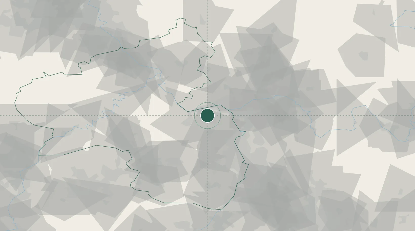
Hub Profile
Place type
Populated place
Region
Rheinland-Pfalz
Population
2,555
Time zone
Europe/Berlin
Elevation
127 m
Location
Nearby Logistics Neighbours
Cities
- 1Gau Algesheim5 km
- 2Jugenheim6 km
- 3Heidesheim8 km
- 4Ockenheim8 km
- 5Oestrich-Winkel10 km
Airports
- 1Mainz-Finthen Airfield6 km
- 2Wiesbaden Army Airfield22 km
- 3Frankfurt Main Airport36 km
- 4Frankfurt-Egelsbach Airport40 km
- 5Frankfurt-Hahn Airport59 km
Trade Zones
- 1ZFU La Cité Behren-lès-Forbach119 km
- 2Luxembourg Free Port138 km
- 3ZFU Hautepierre152 km
- 4ZFU Neuhof157 km
- 5Rheinische Revier SWZ162 km
DatabookThe Record of Consolidated Knowledge
Germany beyond logistics?