Transport Functions
Multimodal
Hub Profile
Place type
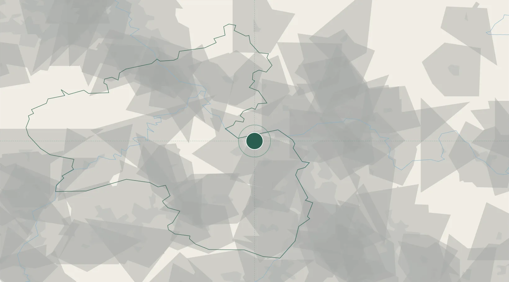
Populated place
Region
Rheinland-Pfalz
Population
6,553
Time zone
Europe/Berlin
Elevation
107 m
Location
Nearby Logistics Neighbours
Cities
- 1Ockenheim4 km
- 2Schwabenheim5 km
- 3Oestrich-Winkel6 km
- 4Kempten6 km
- 5Hattenheim8 km
Airports
- 1Mainz-Finthen Airfield10 km
- 2Wiesbaden Army Airfield25 km
- 3Frankfurt Main Airport40 km
- 4Frankfurt-Egelsbach Airport45 km
- 5Frankfurt-Hahn Airport54 km
Trade Zones
- 1ZFU La Cité Behren-lès-Forbach117 km
- 2Luxembourg Free Port133 km
- 3ZFU Hautepierre153 km
- 4Rheinische Revier SWZ158 km
- 5ZFU Neuhof158 km
DatabookThe Record of Consolidated Knowledge
Germany beyond logistics?