Transport Functions
Port
Rail
Road
Hub Profile
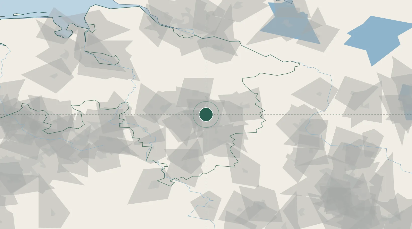
Place type
District seat
Region
Lower Saxony
Population
49,953
Time zone
Europe/Berlin
Elevation
68 m
Location
Nearby Logistics Neighbours
Cities
- 1Mehrum9 km
- 2Bortfeld12 km
- 3Hohenhameln13 km
- 4Wedtlenstedt14 km
- 5Lengede14 km
Airports
- 1Braunschweig-Wolfsburg Airport22 km
- 2Celle Army Airfield34 km
- 3Hannover Airport41 km
- 4Wunstorf Air Base57 km
- 5Faßberg Air Base67 km
Trade Zones
DatabookThe Record of Consolidated Knowledge
Germany beyond logistics?