UN/LOCODE hub · Germany
DEBTA

Bortfeld

52.3000°, 10.4000°
2
Transport functions

Transport Functions

Port
Road
UN/LOCODE

Hub Profile

Place type
Populated place
GeoNames
Region
Lower Saxony
GeoNames
Time zone
Europe/Berlin
GeoNames
Elevation
74 m
GeoNames

Location

Location of DEBTA
Natural Earth 10m (public domain) · Lower Saxony · DEBTA · 52.30, 10.40GoogleOSMYandex

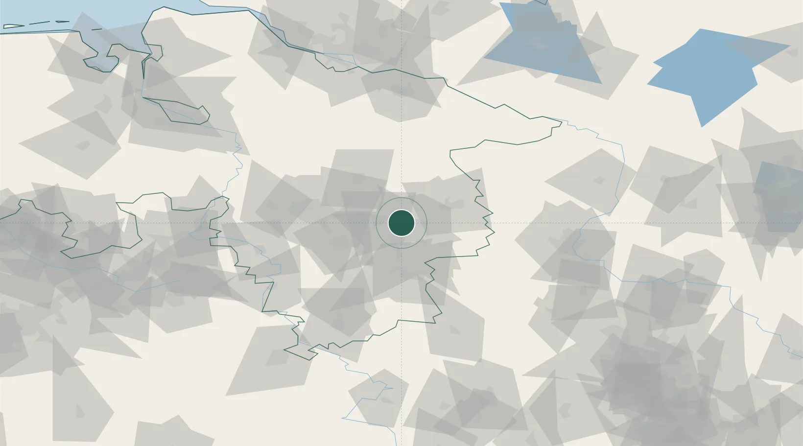
Nearby Logistics Neighbours

Cities
  1. 1Wedtlenstedt4 km
  2. 2Bracht6 km
  3. 3Thune7 km
  4. 4Braunschweig8 km
  5. 5Peine12 km
Nearest neighbours — logibook spatial index (haversine) over the source coordinates
Ports
  1. 1Hamburg143 km
  2. 2Bremen144 km
  3. 3Butzfleth161 km
  4. 4Elsfleth166 km
  5. 5Brake173 km
Nearest neighbours — logibook spatial index (haversine) over the source coordinates
Airports
  1. 1Braunschweig-Wolfsburg Airport11 km
  2. 2Celle Army Airfield41 km
  3. 3Hannover Airport52 km
  4. 4Wunstorf Air Base68 km
  5. 5Faßberg Air Base70 km
Nearest neighbours — logibook spatial index (haversine) over the source coordinates
Trade Zones
  1. 1Freeport of Bremerhaven (Freihafen Bremerhaven)141 km
  2. 2Freeport of Cuxhaven (Freihafen Cuxhaven)209 km
  3. 3Freeport of Kiel227 km
  4. 4Freeport of Emden245 km
  5. 5Freeport of Duisburg278 km
Nearest neighbours — logibook spatial index (haversine) over the source coordinates
DatabookThe Record of Consolidated Knowledge
Germany beyond logistics?
Browse databook

All Sources

LocationsUN/LOCODE
UN/LOCODE — free
Portsthe NGA World Port Index
Public domain (US gov)
AirportsOurAirports
Public domain
Trade Zonesthe World Bank SEZ database
CC BY 4.0
Trade ZonesOpen Zone Map
CC BY
← Germany locations