Transport Functions
Rail
Road
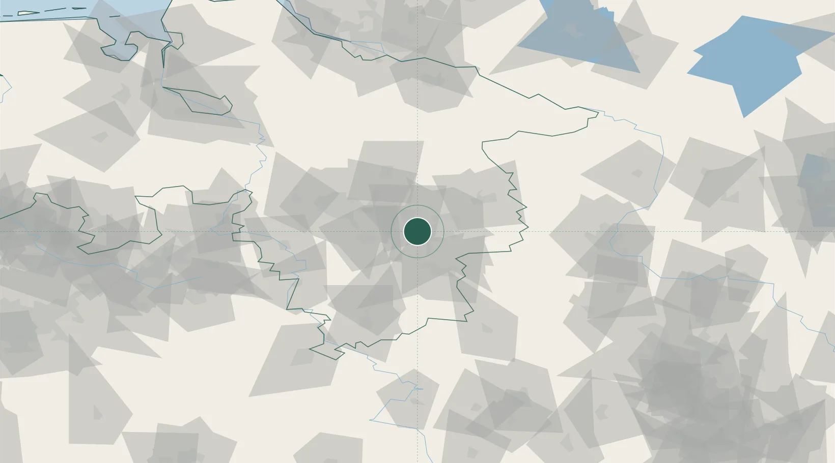
Hub Profile
Place type
Local administrative seat
Region
Lower Saxony
Population
12,993
Time zone
Europe/Berlin
Elevation
82 m
Location
Nearby Logistics Neighbours
Cities
- 1Salzgitter6 km
- 2Beddingen8 km
- 3Wedtlenstedt11 km
- 4Bortfeld13 km
- 5Peine14 km
Airports
- 1Braunschweig-Wolfsburg Airport22 km
- 2Celle Army Airfield47 km
- 3Hannover Airport51 km
- 4Wunstorf Air Base66 km
- 5Faßberg Air Base80 km
Trade Zones
DatabookThe Record of Consolidated Knowledge
Germany beyond logistics?