Transport Functions
Port
Road
Hub Profile
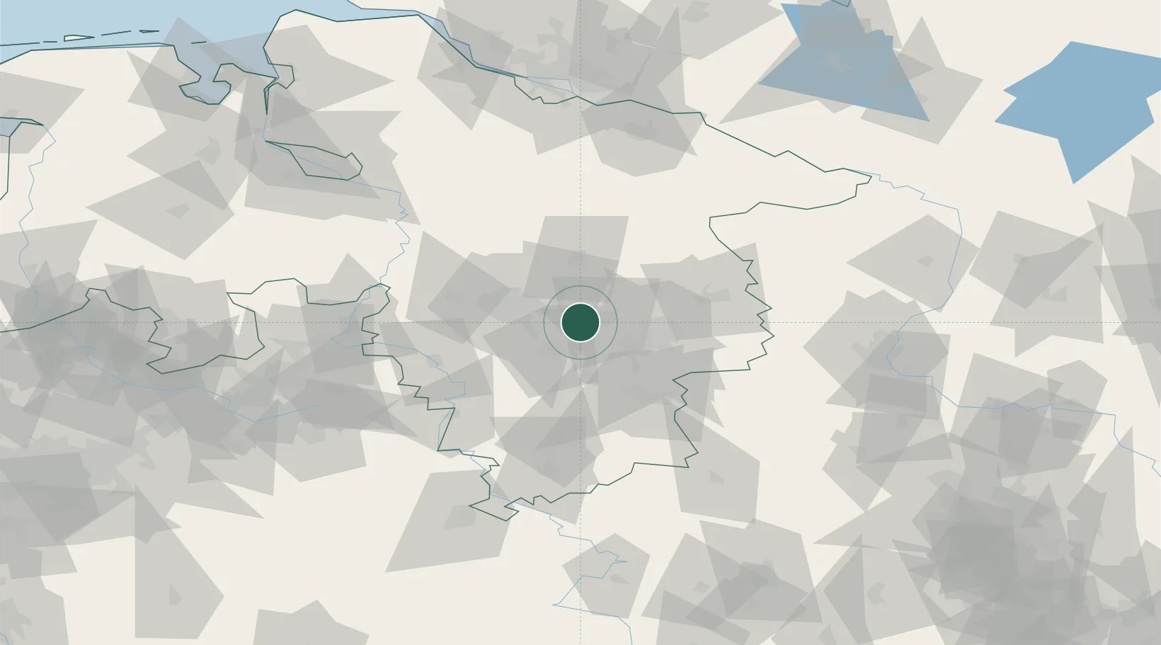
Place type
Populated place
Region
Lower Saxony
Time zone
Europe/Berlin
Elevation
72 m
Location
Nearby Logistics Neighbours
Cities
- 1Hohenhameln4 km
- 2Peine9 km
- 3Algermissen11 km
- 4Lehrte13 km
- 5Harsum13 km
Airports
- 1Braunschweig-Wolfsburg Airport31 km
- 2Celle Army Airfield33 km
- 3Hannover Airport33 km
- 4Wunstorf Air Base49 km
- 5Faßberg Air Base69 km
Trade Zones
DatabookThe Record of Consolidated Knowledge
Germany beyond logistics?