Transport Functions
Port
Road
Hub Profile
Place type
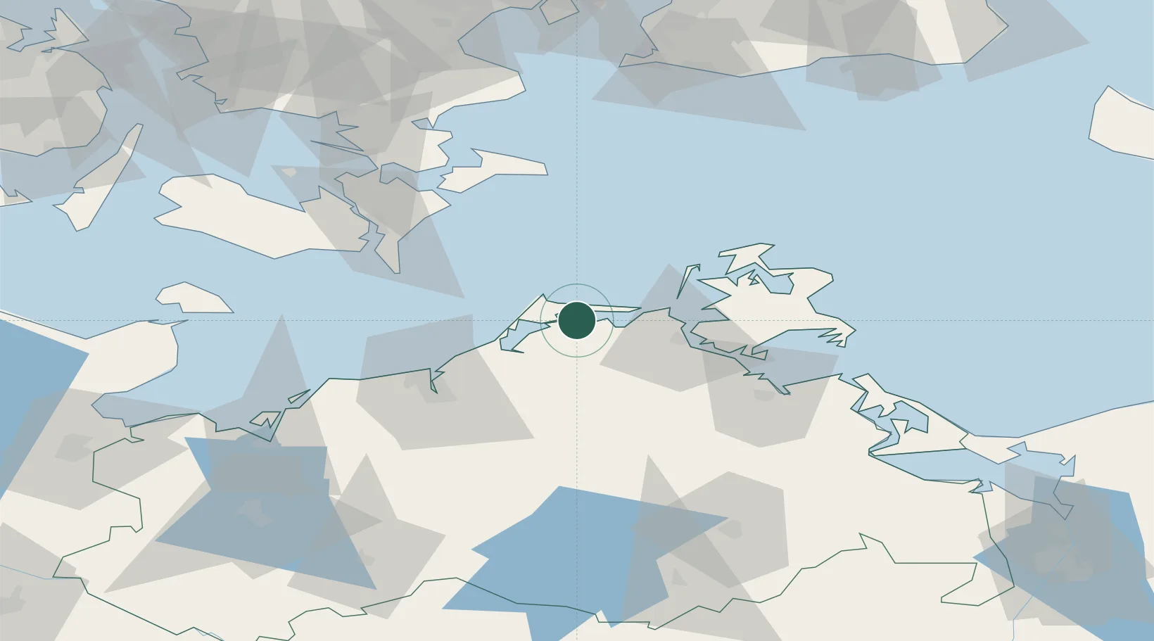
Populated place
Region
Mecklenburg-Vorpommern
Population
688
Time zone
Europe/Berlin
Elevation
2 m
Location
Nearby Logistics Neighbours
Cities
- 1Zingst6 km
- 2Karnin13 km
- 3Langendamm16 km
- 4Plummendorf18 km
- 5Ribnitz-Damgarten20 km
Airports
- 1Rostock-Laage Airport58 km
- 2Lolland Falster Maribo Airport87 km
- 3Neubrandenburg Trollenhagen Airport96 km
- 4Heringsdorf Airport112 km
- 5Ringsted Airfield128 km
Trade Zones
- 1Swinoujscie Duty Free Zone118 km
- 2MTS Malmö Transport and Spedition139 km
- 3Freeport of Copenhagen- Nordhavn148 km
- 4Freeport of Kiel162 km
- 5Szczecin Duty Free Zone164 km
DatabookThe Record of Consolidated Knowledge
Germany beyond logistics?