Transport Functions
Port
Road
Hub Profile
Place type
Local administrative seat
Region
Mecklenburg-Vorpommern
Population
3,198
Time zone
Europe/Berlin
Elevation
2 m
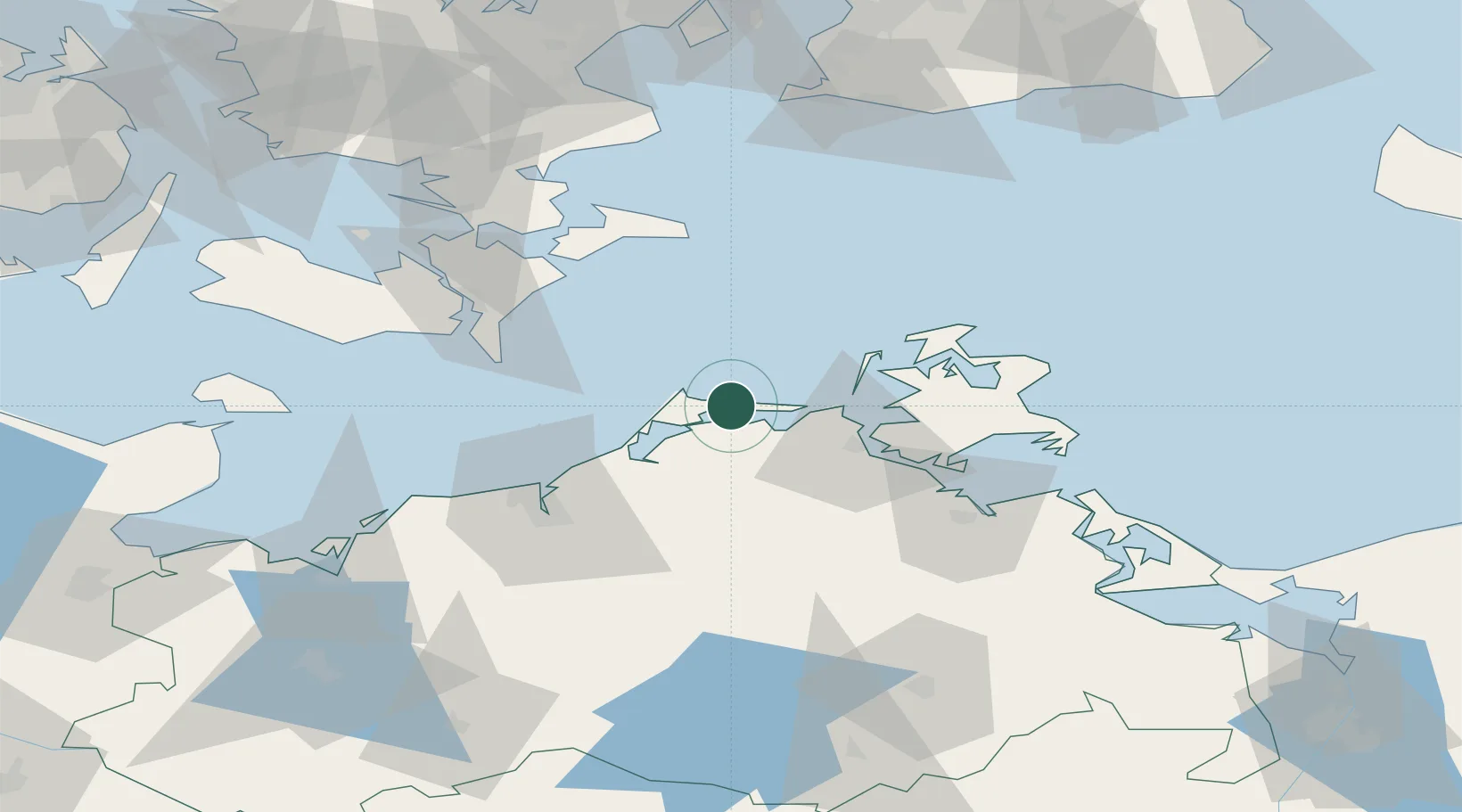
Location
Nearby Logistics Neighbours
Cities
- 1Pruchten6 km
- 2Karnin17 km
- 3Langendamm20 km
- 4Plummendorf23 km
- 5Ribnitz-Damgarten25 km
Ports
- 1Stralsund30 km
- 2Rostock52 km
- 3Sassnitz63 km
- 4Nykobing64 km
- 5Stubbekobing65 km
Airports
- 1Rostock-Laage Airport63 km
- 2Lolland Falster Maribo Airport86 km
- 3Neubrandenburg Trollenhagen Airport101 km
- 4Heringsdorf Airport114 km
- 5Ringsted Airfield124 km
Trade Zones
- 1Swinoujscie Duty Free Zone120 km
- 2MTS Malmö Transport and Spedition133 km
- 3Freeport of Copenhagen- Nordhavn143 km
- 4Freeport of Kiel163 km
- 5Szczecin Duty Free Zone167 km
DatabookThe Record of Consolidated Knowledge
Germany beyond logistics?