Transport Functions
Road
Multimodal
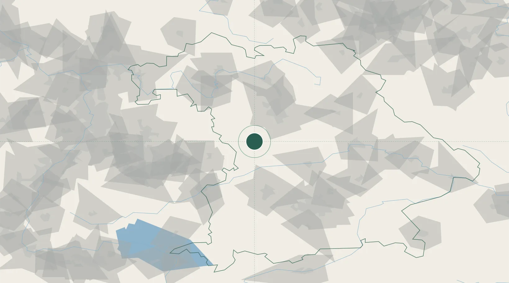
Hub Profile
Place type
Populated place
Region
Bavaria
Population
878
Time zone
Europe/Berlin
Elevation
455 m
Location
Nearby Logistics Neighbours
Cities
- 1Heidenheim6 km
- 2Lengenfeld13 km
- 3Bubenheim15 km
- 4Oettingen in Bayern16 km
- 5Weissenburg in Bayern19 km
Ports
- 1Nogaro411 km
- 2Grado422 km
- 3Monfalcone423 km
- 4Porto Di Lido-Venezia426 km
- 5Porto Di Chioggia443 km
Airports
- 1Neuburg Air Base54 km
- 2Nuremberg Airport55 km
- 3Niederstetten Army Air Base66 km
- 4Adolf Würth Airport68 km
- 5Ingolstadt Manching Airport71 km
Trade Zones
- 1Freeport of Deggendorf162 km
- 2ZFU Neuhof224 km
- 3ZFU Hautepierre228 km
- 4Podbořany Industrial Zone233 km
- 5Žatec - Triangle Strategic Industrial Zone250 km
DatabookThe Record of Consolidated Knowledge
Germany beyond logistics?