UN/LOCODE hub · Germany
DEOOK
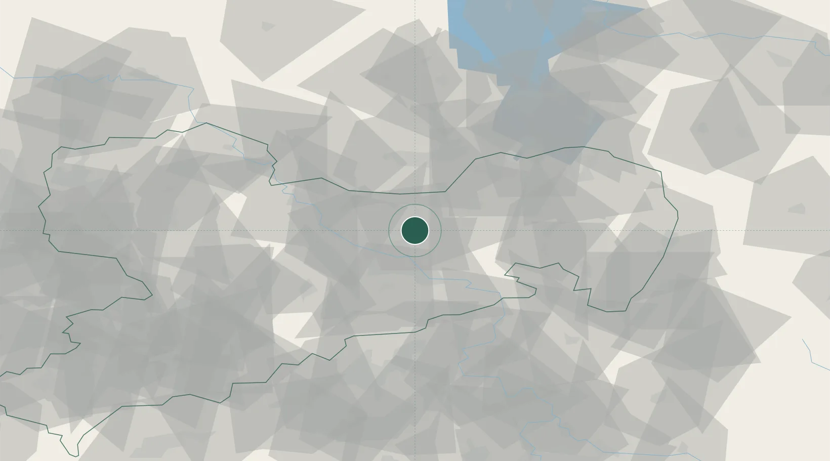
Ottendorf-Okrilla
51.1833°, 13.8333°
10,093
Population
1
Transport functions
Transport Functions
Multimodal
Hub Profile
Place type
Local administrative seat
Region
Saxony
Population
10,093
Time zone
Europe/Berlin
Elevation
176 m
Location
Nearby Logistics Neighbours
Cities
- 1Wachau5 km
- 2Laussnitz8 km
- 3Radeburg9 km
- 4Moritzburg12 km
- 5Pulsnitz13 km
Ports
- 1Szczecin253 km
- 2Police270 km
- 3Swinoujscie305 km
- 4Wolgast319 km
- 5Wismar342 km
Airports
- 1Dresden Airport7 km
- 2Holzdorf Air Base80 km
- 3Rothenburg/Görlitz Airfield80 km
- 4Leipzig–Altenburg Airport95 km
- 5Leipzig/Halle Airport114 km
Trade Zones
DatabookThe Record of Consolidated Knowledge
Germany beyond logistics?