Transport Functions
Rail
Road
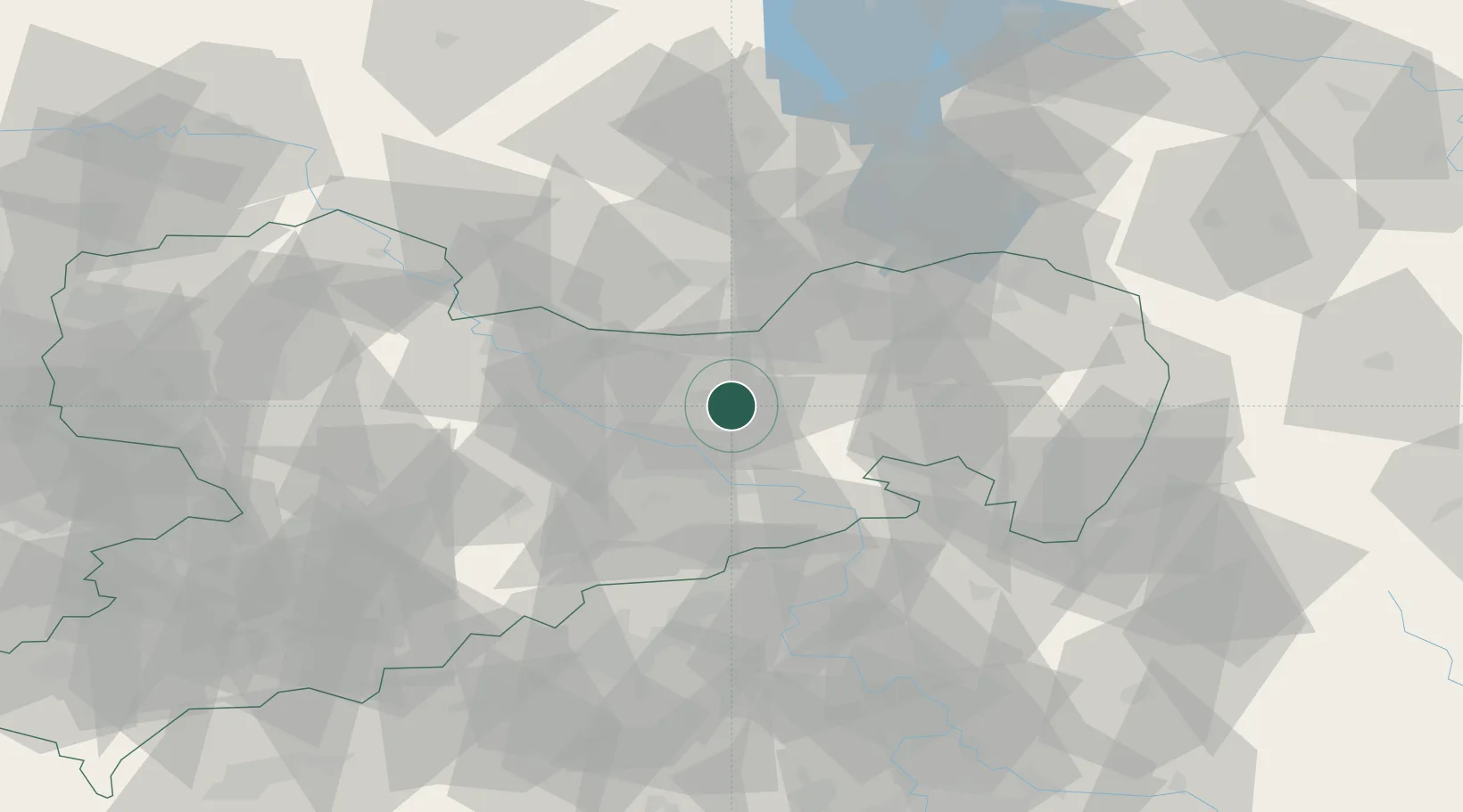
Hub Profile
Place type
Local administrative seat
Region
Saxony
Population
4,551
Time zone
Europe/Berlin
Elevation
222 m
Location
Nearby Logistics Neighbours
Cities
- 1Ottendorf-Okrilla5 km
- 2Pulsnitz8 km
- 3Laussnitz9 km
- 4Fischbach12 km
- 5Radeburg14 km
Ports
- 1Szczecin254 km
- 2Police271 km
- 3Swinoujscie307 km
- 4Wolgast321 km
- 5Wismar346 km
Airports
- 1Dresden Airport10 km
- 2Rothenburg/Görlitz Airfield76 km
- 3Holzdorf Air Base84 km
- 4Leipzig–Altenburg Airport100 km
- 5Vodochody Airport111 km
Trade Zones
DatabookThe Record of Consolidated Knowledge
Germany beyond logistics?