Transport Functions
Multimodal
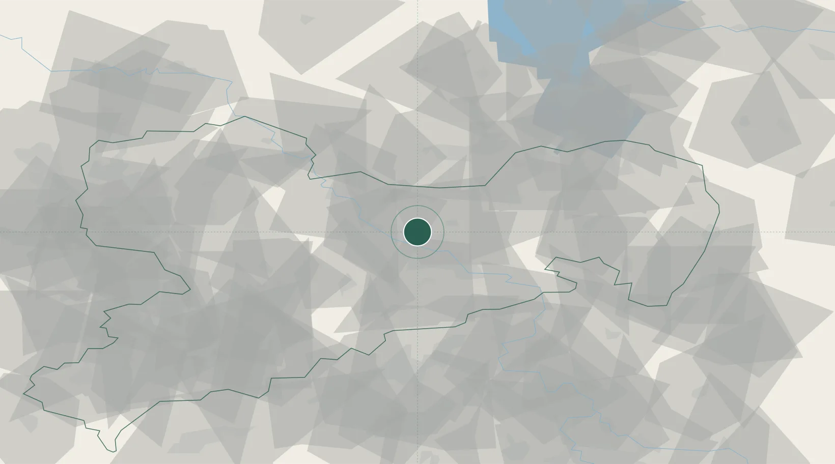
Hub Profile
Place type
Local administrative seat
Region
Saxony
Population
8,085
Time zone
Europe/Berlin
Elevation
180 m
Location
Nearby Logistics Neighbours
Cities
- 1Radeburg8 km
- 2Oracov8 km
- 3Niederau (Meisharpen)10 km
- 4Sörnewitz11 km
- 5Dresden11 km
Ports
- 1Szczecin259 km
- 2Police276 km
- 3Swinoujscie310 km
- 4Wolgast323 km
- 5Wismar340 km
Airports
- 1Dresden Airport7 km
- 2Holzdorf Air Base77 km
- 3Leipzig–Altenburg Airport83 km
- 4Rothenburg/Görlitz Airfield92 km
- 5Leipzig/Halle Airport104 km
Trade Zones
DatabookThe Record of Consolidated Knowledge
Germany beyond logistics?