Transport Functions
Rail
Road
Hub Profile
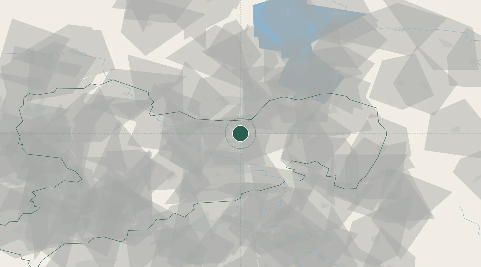
Place type
Local administrative seat
Region
Saxony
Population
2,102
Time zone
Europe/Berlin
Elevation
183 m
Location
Nearby Logistics Neighbours
Cities
- 1Ottendorf-Okrilla8 km
- 2Wachau9 km
- 3Pulsnitz12 km
- 4Radeburg12 km
- 5Gelenau13 km
Ports
- 1Szczecin245 km
- 2Police262 km
- 3Swinoujscie298 km
- 4Wolgast311 km
- 5Wismar337 km
Airports
- 1Dresden Airport15 km
- 2Rothenburg/Görlitz Airfield75 km
- 3Holzdorf Air Base76 km
- 4Leipzig–Altenburg Airport101 km
- 5Leipzig/Halle Airport116 km
Trade Zones
DatabookThe Record of Consolidated Knowledge
Germany beyond logistics?