Transport Functions
Rail
Road
Hub Profile
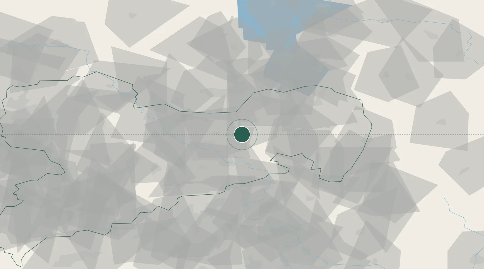
Place type
Populated place
Region
Saxony
Population
7,301
Time zone
Europe/Berlin
Elevation
275 m
Location
Nearby Logistics Neighbours
Cities
- 1Gelenau8 km
- 2Wachau8 km
- 3Fischbach11 km
- 4Laussnitz12 km
- 5Ottendorf-Okrilla13 km
Ports
- 1Szczecin251 km
- 2Police268 km
- 3Swinoujscie304 km
- 4Wolgast319 km
- 5Wismar348 km
Airports
- 1Dresden Airport18 km
- 2Rothenburg/Görlitz Airfield68 km
- 3Holzdorf Air Base88 km
- 4Leipzig–Altenburg Airport108 km
- 5Vodochody Airport111 km
Trade Zones
DatabookThe Record of Consolidated Knowledge
Germany beyond logistics?