Transport Functions
Port
Rail
Road
Hub Profile
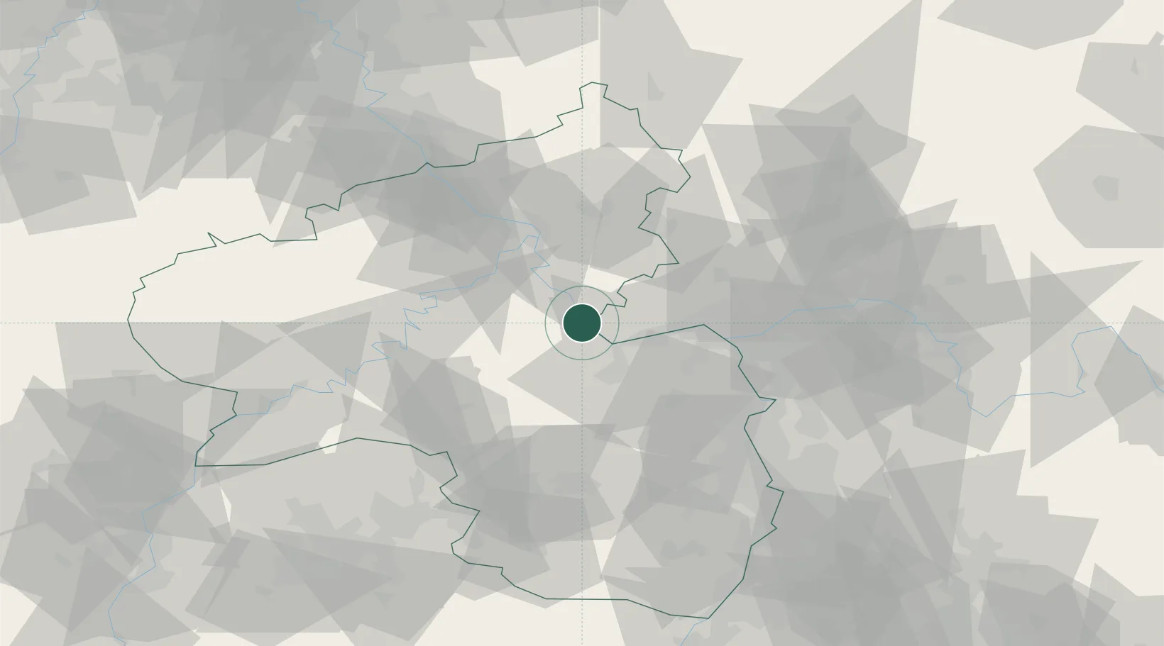
Place type
Populated place
Region
Rheinland-Pfalz
Population
2,105
Time zone
Europe/Berlin
Elevation
86 m
Location
Nearby Logistics Neighbours
Cities
- 1Lorch2 km
- 2Kaub4 km
- 3Oberheimbach4 km
- 4Trechtingshausen7 km
- 5Weisel8 km
Airports
- 1Mainz-Finthen Airfield29 km
- 2Frankfurt-Hahn Airport38 km
- 3Wiesbaden Army Airfield40 km
- 4Büchel Air Base52 km
- 5Frankfurt Main Airport57 km
Trade Zones
- 1ZFU La Cité Behren-lès-Forbach115 km
- 2Luxembourg Free Port120 km
- 3Rheinische Revier SWZ137 km
- 4ZFU Woippy-Metz154 km
- 5ZFU Metz156 km
DatabookThe Record of Consolidated Knowledge
Germany beyond logistics?