UN/LOCODE hub · Germany
DEOGL

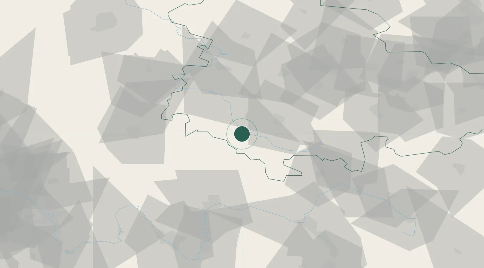
Obermassfeld-Grimmenthal

50.5333°, 10.4333°
1,281
Population
2
Transport functions

Transport Functions

Road
Multimodal
UN/LOCODE

Hub Profile

Place type
Local administrative seat
GeoNames
Region
Thuringia
GeoNames
Population
1,281
GeoNames
Time zone
Europe/Berlin
GeoNames
Elevation
300 m
GeoNames

Location

Location of DEOGL
Natural Earth 10m (public domain) · Thuringia · DEOGL · 50.53, 10.43GoogleOSMYandex

Nearby Logistics Neighbours

Cities
  1. 1Meiningen4 km
  2. 2Viernau15 km
  3. 3Wasungen16 km
  4. 4Ostheim vor der Rhön17 km
  5. 5Schwallungen18 km
Nearest neighbours — logibook spatial index (haversine) over the source coordinates
Ports
  1. 1Bremen311 km
  2. 2Oldenburg325 km
  3. 3Elsfleth329 km
  4. 4Hamburg337 km
  5. 5Brake339 km
Nearest neighbours — logibook spatial index (haversine) over the source coordinates
Airports
  1. 1Eisenach-Kindel Airport51 km
  2. 2Erfurt-Weimar Airport62 km
  3. 3Bamberg-Breitenau Airfield76 km
  4. 4Fritzlar Army Airfield103 km
  5. 5Hof-Plauen Airport104 km
Nearest neighbours — logibook spatial index (haversine) over the source coordinates
Trade Zones
  1. 1Podbořany Industrial Zone213 km
  2. 2Žatec - Triangle Strategic Industrial Zone219 km
  3. 3Most - Joseph Industrial Zone227 km
  4. 4Freeport of Deggendorf258 km
  5. 5Freeport of Duisburg288 km
Nearest neighbours — logibook spatial index (haversine) over the source coordinates
DatabookThe Record of Consolidated Knowledge
Germany beyond logistics?
Browse databook

All Sources

LocationsUN/LOCODE
UN/LOCODE — free
LocationsGeoNames
CC BY 4.0
Portsthe NGA World Port Index
Public domain (US gov)
AirportsOurAirports
Public domain
Trade Zonesthe World Bank SEZ database
CC BY 4.0
Trade ZonesOpen Zone Map
CC BY
← Germany locations