Transport Functions
Road
Multimodal
Hub Profile
Place type
District seat
Region
Thuringia
Population
21,580
Time zone
Europe/Berlin
Elevation
292 m
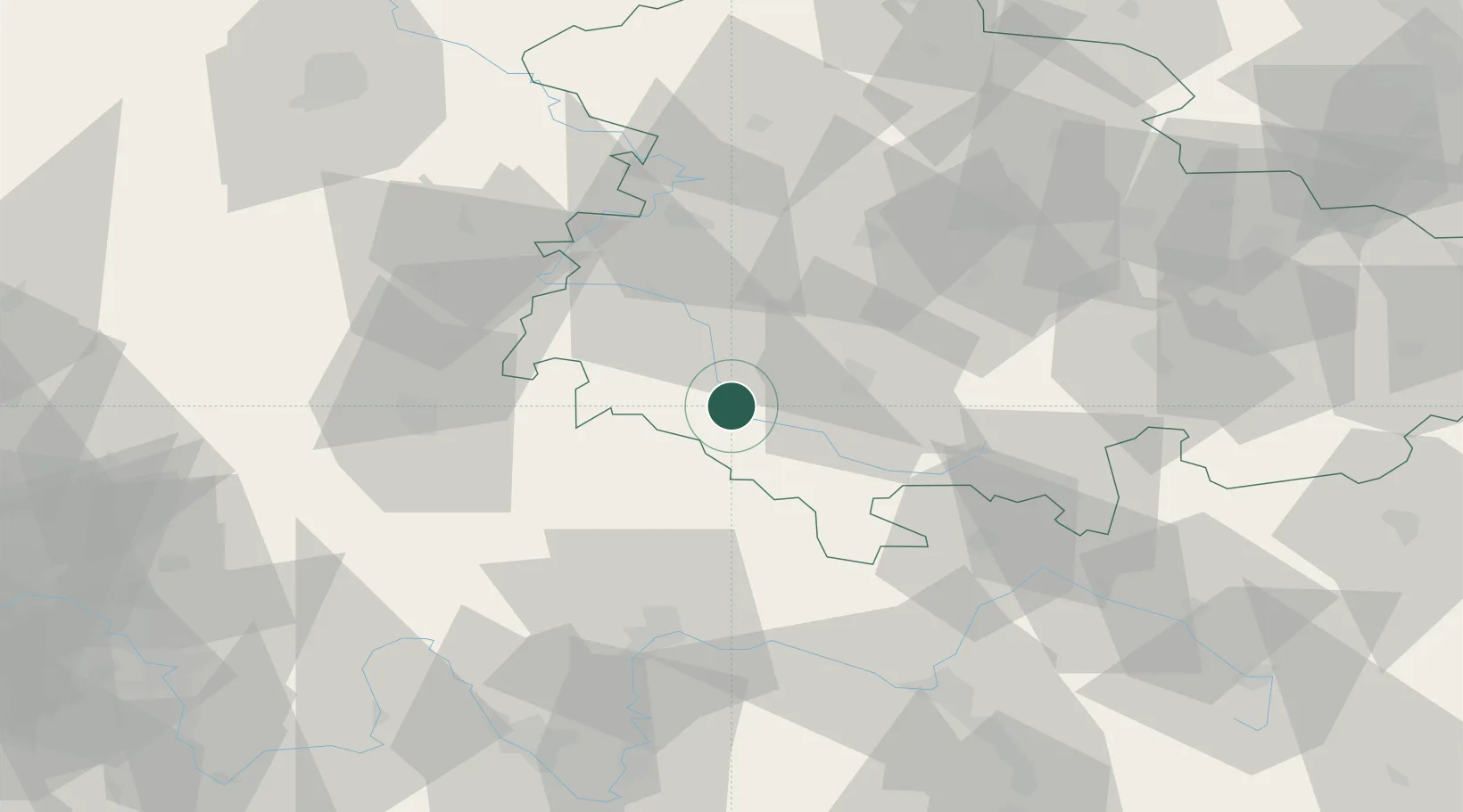
Location
Nearby Logistics Neighbours
Cities
- 1Obermassfeld-Grimmenthal4 km
- 2Wasungen11 km
- 3Schwallungen13 km
- 4Viernau14 km
- 5Niederschmalkalden17 km
Airports
- 1Eisenach-Kindel Airport48 km
- 2Erfurt-Weimar Airport60 km
- 3Bamberg-Breitenau Airfield81 km
- 4Fritzlar Army Airfield99 km
- 5Hof-Plauen Airport108 km
Trade Zones
- 1Podbořany Industrial Zone216 km
- 2Žatec - Triangle Strategic Industrial Zone222 km
- 3Most - Joseph Industrial Zone229 km
- 4Freeport of Deggendorf263 km
- 5Freeport of Duisburg284 km
DatabookThe Record of Consolidated Knowledge
Germany beyond logistics?