Transport Functions
Road
Multimodal
Hub Profile
Region
BB
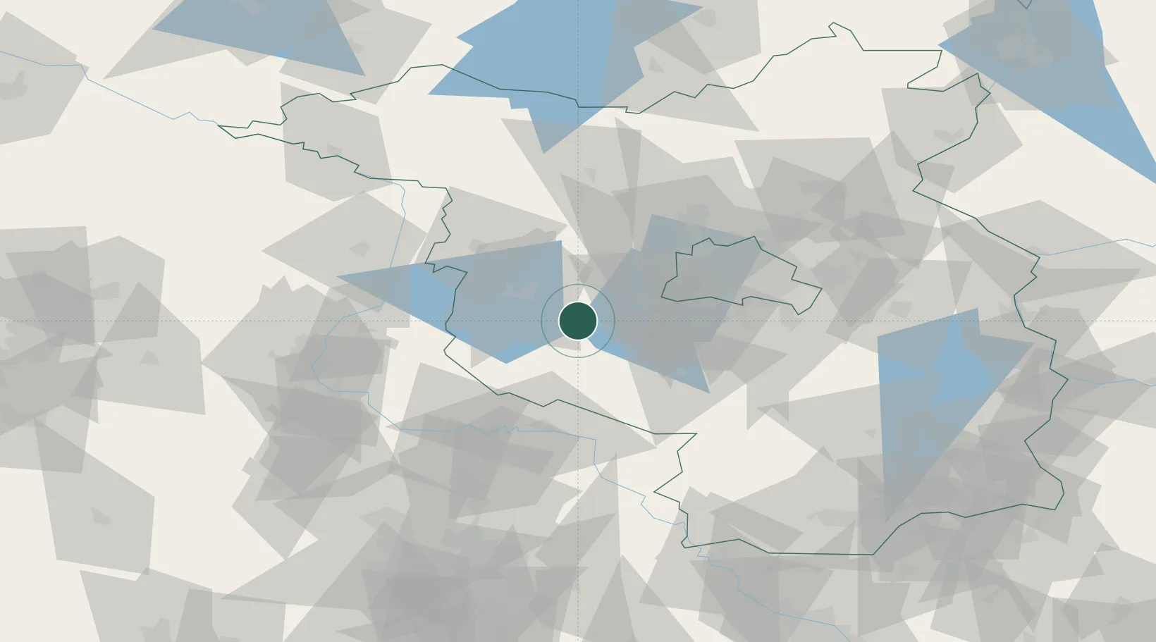
Location
Nearby Logistics Neighbours
Cities
- 1Nahmitz2 km
- 2Ferch13 km
- 3Brück13 km
- 4Borkheide13 km
- 5Schwielowsee15 km
Airports
- 1Berlin Brandenburg Airport51 km
- 2Zerbst Airfield54 km
- 3Holzdorf Air Base67 km
- 4Leipzig/Halle Airport106 km
- 5Neubrandenburg Trollenhagen Airport148 km
Trade Zones
- 1Kostrzyń-Słubice SEZ132 km
- 2Szczecin Duty Free Zone173 km
- 3Swinoujscie Duty Free Zone203 km
- 4Most - Joseph Industrial Zone213 km
- 5Žatec - Triangle Strategic Industrial Zone220 km
DatabookThe Record of Consolidated Knowledge
Germany beyond logistics?