Transport Functions
Multimodal
Hub Profile
Place type
Local administrative seat
Region
Brandenburg
Population
1,821
Time zone
Europe/Berlin
Elevation
69 m
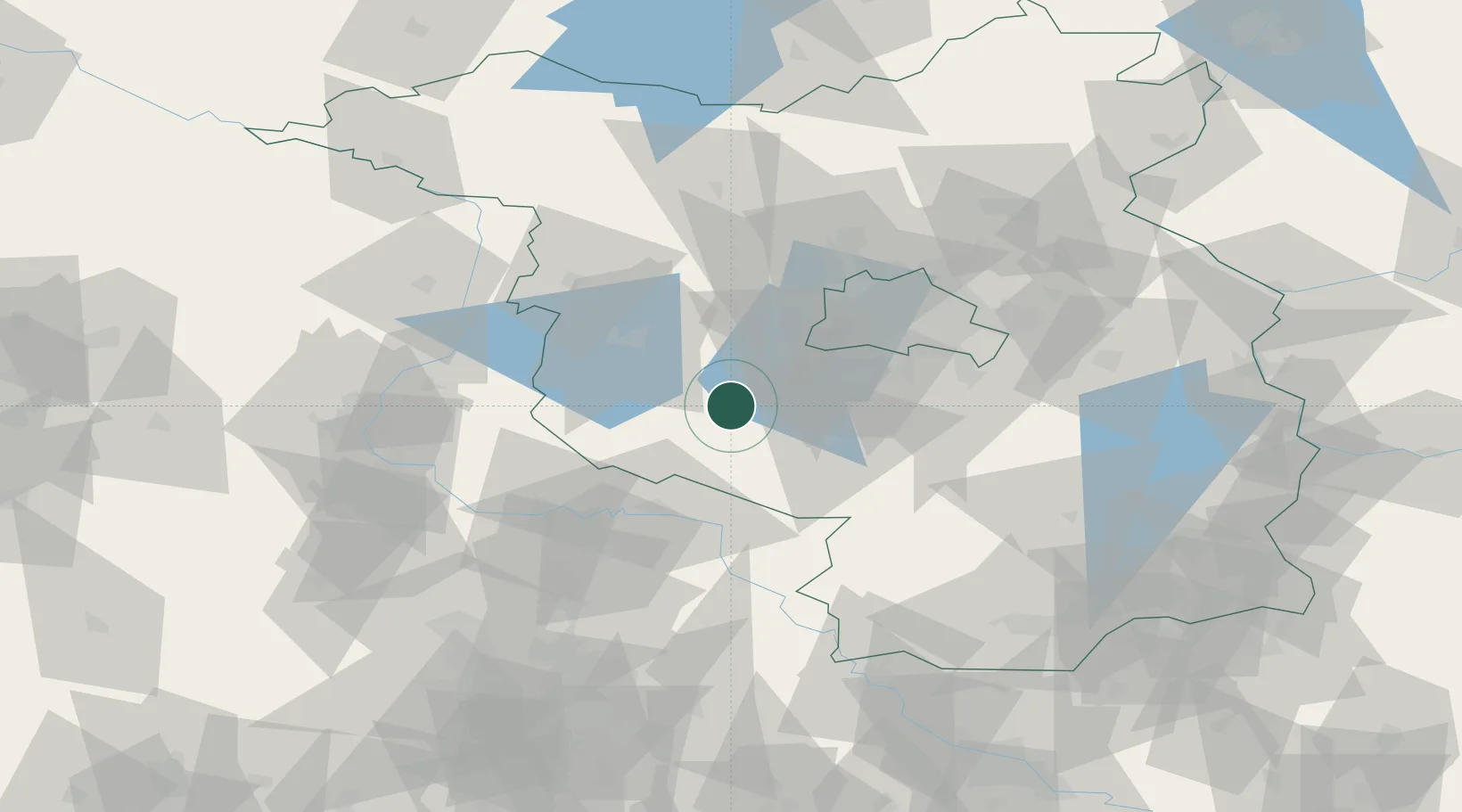
Location
Nearby Logistics Neighbours
Ports
- 1Szczecin176 km
- 2Police189 km
- 3Wismar209 km
- 4Swinoujscie211 km
- 5Wolgast213 km
Airports
- 1Berlin Brandenburg Airport47 km
- 2Zerbst Airfield54 km
- 3Holzdorf Air Base54 km
- 4Leipzig/Halle Airport98 km
- 5Dresden Airport136 km
Trade Zones
- 1Kostrzyń-Słubice SEZ129 km
- 2Szczecin Duty Free Zone177 km
- 3Most - Joseph Industrial Zone200 km
- 4Žatec - Triangle Strategic Industrial Zone208 km
- 5Swinoujscie Duty Free Zone210 km
DatabookThe Record of Consolidated Knowledge
Germany beyond logistics?