UN/LOCODE hub · Germany
DENTD

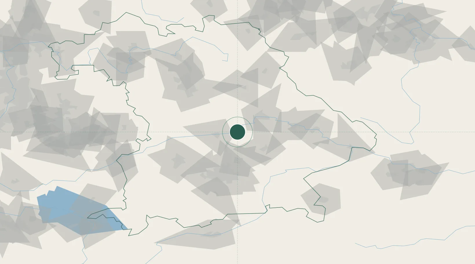
Neustadt an der Donau

48.8000°, 11.7667°
12,899
Population
2
Transport functions

Transport Functions

Rail
Road
UN/LOCODE

Hub Profile

Place type
Populated place
GeoNames
Region
Bavaria
GeoNames
Population
12,899
GeoNames
Time zone
Europe/Berlin
GeoNames
Elevation
354 m
GeoNames

Location

Location of DENTD
Natural Earth 10m (public domain) · Bavaria · DENTD · 48.80, 11.77GoogleOSMYandex

Nearby Logistics Neighbours

Cities
  1. 1Pförring6 km
  2. 2Unterdolling12 km
  3. 3Vohburg an der Donau12 km
  4. 4Oberdolling14 km
  5. 5Geisenfeld17 km
Nearest neighbours — logibook spatial index (haversine) over the source coordinates
Ports
  1. 1Nogaro354 km
  2. 2Monfalcone361 km
  3. 3Grado364 km
  4. 4Porto Di Lido-Venezia380 km
  5. 5Trieste381 km
Nearest neighbours — logibook spatial index (haversine) over the source coordinates
Airports
  1. 1Ingolstadt Manching Airport20 km
  2. 2Landshut Airfield38 km
  3. 3Neuburg Air Base42 km
  4. 4Hohenfels Army Airfield47 km
  5. 5Munich Airport50 km
Nearest neighbours — logibook spatial index (haversine) over the source coordinates
Trade Zones
  1. 1Freeport of Deggendorf83 km
  2. 2Podbořany Industrial Zone198 km
  3. 3Žatec - Triangle Strategic Industrial Zone218 km
  4. 4Most - Joseph Industrial Zone231 km
  5. 5Livigno Free Trade Zone281 km
Nearest neighbours — logibook spatial index (haversine) over the source coordinates
DatabookThe Record of Consolidated Knowledge
Germany beyond logistics?
Browse databook

All Sources

LocationsUN/LOCODE
UN/LOCODE — free
LocationsGeoNames
CC BY 4.0
Portsthe NGA World Port Index
Public domain (US gov)
AirportsOurAirports
Public domain
Trade Zonesthe World Bank SEZ database
CC BY 4.0
Trade ZonesOpen Zone Map
CC BY
← Germany locations