Transport Functions
Port
Road
Hub Profile
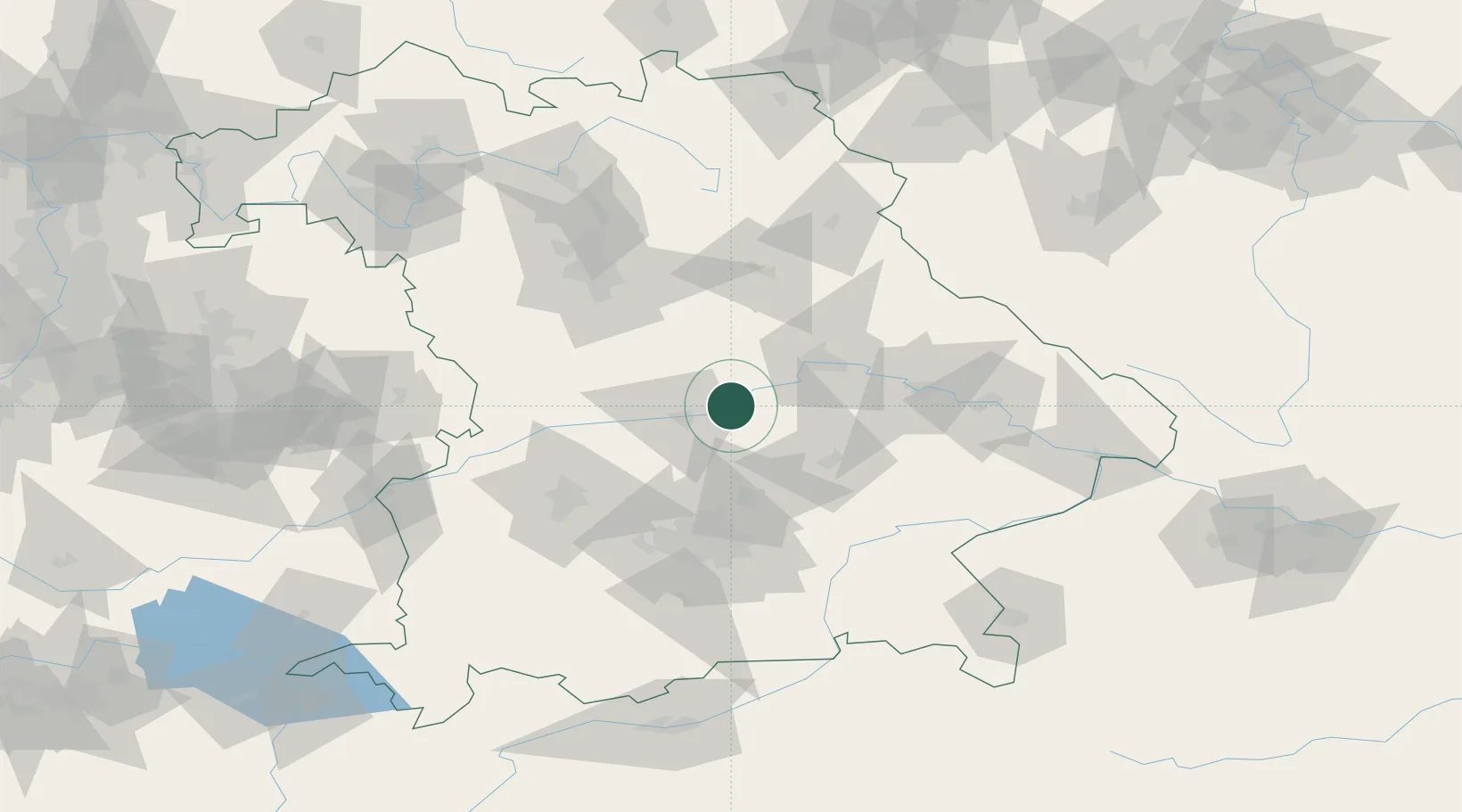
Place type
Populated place
Region
Bavaria
Time zone
Europe/Berlin
Elevation
356 m
Location
Nearby Logistics Neighbours
Cities
- 1Unterdolling5 km
- 2Neustadt an der Donau6 km
- 3Vohburg an der Donau7 km
- 4Oberdolling8 km
- 5Ernsgaden14 km
Ports
- 1Nogaro358 km
- 2Monfalcone366 km
- 3Grado368 km
- 4Porto Di Lido-Venezia382 km
- 5Trieste385 km
Airports
- 1Ingolstadt Manching Airport16 km
- 2Neuburg Air Base37 km
- 3Landshut Airfield43 km
- 4Hohenfels Army Airfield46 km
- 5Munich Airport52 km
Trade Zones
DatabookThe Record of Consolidated Knowledge
Germany beyond logistics?