Transport Functions
Rail
Road
Hub Profile
Place type
Populated place
Region
Lower Saxony
Time zone
Europe/Berlin
Elevation
137 m
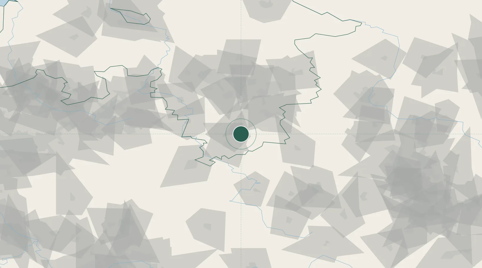
Location
Nearby Logistics Neighbours
Cities
- 1Katlenburg-Lindau0 km
- 2Northeim7 km
- 3Bilshausen7 km
- 4Osterode am Harz8 km
- 5Hollenstedt12 km
Airports
- 1Kassel Airport57 km
- 2Braunschweig-Wolfsburg Airport77 km
- 3Eisenach-Kindel Airport81 km
- 4Fritzlar Army Airfield85 km
- 5Hannover Airport91 km
Trade Zones
DatabookThe Record of Consolidated Knowledge
Germany beyond logistics?