Transport Functions
Rail
Road
Hub Profile
Place type
Populated place
Region
Saxony
Time zone
Europe/Berlin
Elevation
145 m
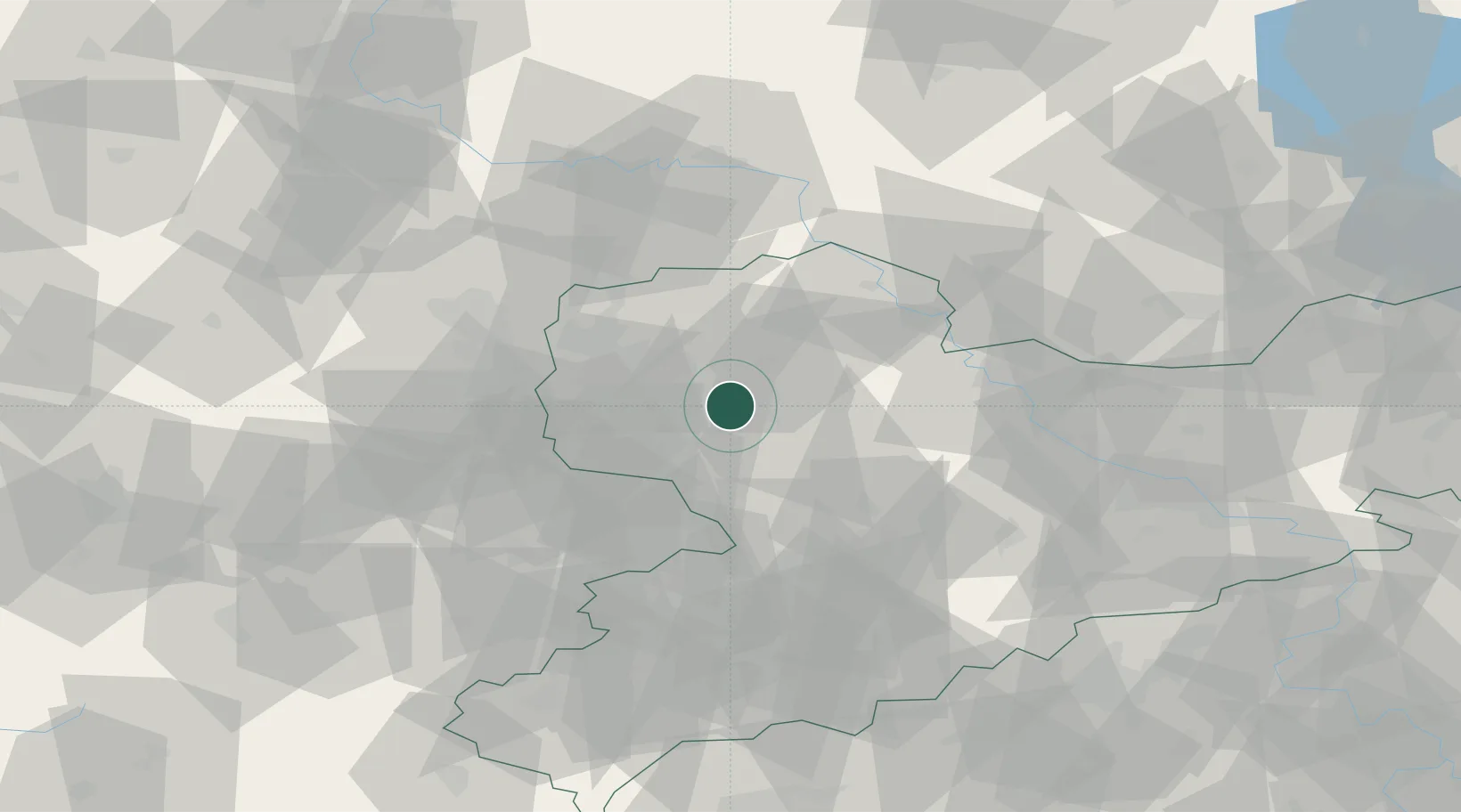
Location
Nearby Logistics Neighbours
Cities
- 1Belgershain6 km
- 2Boehlen8 km
- 3Grosspösna10 km
- 4Nerchau11 km
- 5Gerichshain12 km
Ports
- 1Szczecin274 km
- 2Police289 km
- 3Wismar305 km
- 4Hamburg315 km
- 5Swinoujscie316 km
Airports
- 1Leipzig–Altenburg Airport31 km
- 2Leipzig/Halle Airport34 km
- 3Holzdorf Air Base68 km
- 4Dresden Airport80 km
- 5Zerbst Airfield90 km
Trade Zones
DatabookThe Record of Consolidated Knowledge
Germany beyond logistics?