Transport Functions
Rail
Road
Hub Profile
Region
HE
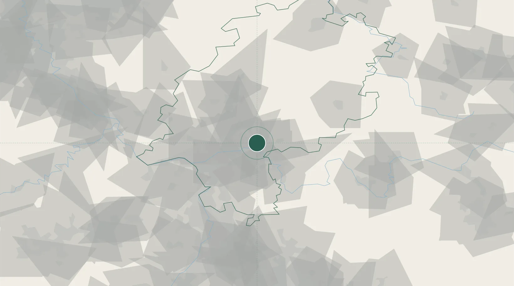
Location
Nearby Logistics Neighbours
Cities
- 1Neuberg5 km
- 2Hanau6 km
- 3Schöneck6 km
- 4Kesselstadt8 km
- 5Niederdorfelden9 km
Airports
- 1Frankfurt Main Airport31 km
- 2Frankfurt-Egelsbach Airport32 km
- 3Wiesbaden Army Airfield45 km
- 4Mainz-Finthen Airfield60 km
- 5Siegerland Airport83 km
Trade Zones
- 1ZFU La Cité Behren-lès-Forbach182 km
- 2Rheinische Revier SWZ197 km
- 3ZFU Hautepierre198 km
- 4ZFU Neuhof201 km
- 5Luxembourg Free Port202 km
DatabookThe Record of Consolidated Knowledge
Germany beyond logistics?