Transport Functions
Port
Road
Hub Profile
Place type
Populated place
Region
Saxony
Time zone
Europe/Berlin
Elevation
95 m
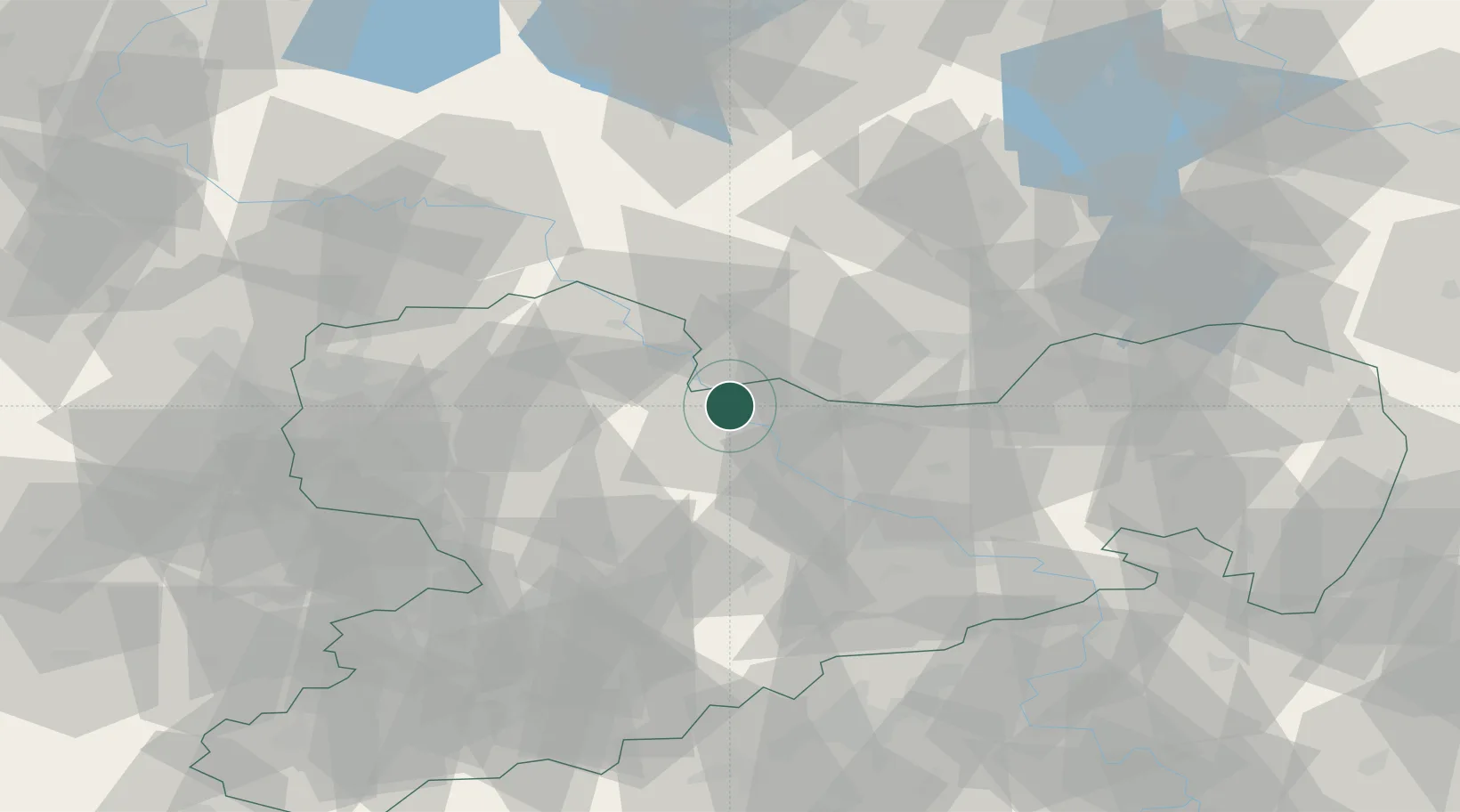
Location
Nearby Logistics Neighbours
Cities
- 1Riesa4 km
- 2Kreinitz4 km
- 3Strehla/Elbe5 km
- 4Zeithain5 km
- 5Glaubitz8 km
Ports
- 1Szczecin245 km
- 2Police261 km
- 3Swinoujscie293 km
- 4Wolgast302 km
- 5Wismar309 km
Airports
- 1Dresden Airport41 km
- 2Holzdorf Air Base47 km
- 3Leipzig–Altenburg Airport68 km
- 4Leipzig/Halle Airport73 km
- 5Zerbst Airfield107 km
Trade Zones
DatabookThe Record of Consolidated Knowledge
Germany beyond logistics?