UN/LOCODE hub · Germany
DEHRS

Harsum

52.2167°, 9.9667°
12,331
Population
2
Transport functions

Transport Functions

Rail
Road
UN/LOCODE

Hub Profile

Place type
Local administrative seat
GeoNames
Region
Lower Saxony
GeoNames
Population
12,331
GeoNames
Time zone
Europe/Berlin
GeoNames
Elevation
81 m
GeoNames

Location

Location of DEHRS
Natural Earth 10m (public domain) · Lower Saxony · DEHRS · 52.22, 9.97GoogleOSMYandex

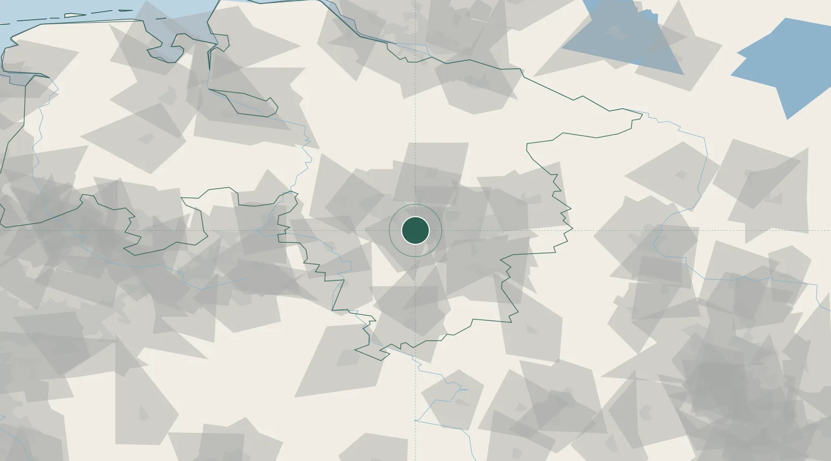
Nearby Logistics Neighbours

Cities
  1. 1Algermissen4 km
  2. 2Giesen5 km
  3. 3Hildesheim7 km
  4. 4Sarstedt8 km
  5. 5Hohenhameln9 km
Nearest neighbours — logibook spatial index (haversine) over the source coordinates
Ports
  1. 1Bremen130 km
  2. 2Hamburg148 km
  3. 3Elsfleth152 km
  4. 4Oldenburg155 km
  5. 5Brake159 km
Nearest neighbours — logibook spatial index (haversine) over the source coordinates
Airports
  1. 1Hannover Airport33 km
  2. 2Braunschweig-Wolfsburg Airport42 km
  3. 3Celle Army Airfield42 km
  4. 4Wunstorf Air Base45 km
  5. 5Bückeburg Air Base61 km
Nearest neighbours — logibook spatial index (haversine) over the source coordinates
Trade Zones
  1. 1Freeport of Bremerhaven (Freihafen Bremerhaven)126 km
  2. 2Freeport of Cuxhaven (Freihafen Cuxhaven)202 km
  3. 3Freeport of Emden224 km
  4. 4Freeport of Kiel236 km
  5. 5Freeport of Duisburg247 km
Nearest neighbours — logibook spatial index (haversine) over the source coordinates
DatabookThe Record of Consolidated Knowledge
Germany beyond logistics?
Browse databook

All Sources

LocationsUN/LOCODE
UN/LOCODE — free
LocationsGeoNames
CC BY 4.0
Portsthe NGA World Port Index
Public domain (US gov)
AirportsOurAirports
Public domain
Trade Zonesthe World Bank SEZ database
CC BY 4.0
Trade ZonesOpen Zone Map
CC BY
← Germany locations