Transport Functions
Multimodal
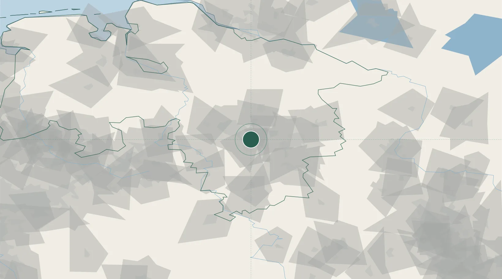
Hub Profile
Place type
Local administrative seat
Region
Lower Saxony
Population
8,280
Time zone
Europe/Berlin
Elevation
79 m
Location
Nearby Logistics Neighbours
Cities
- 1Harsum4 km
- 2Hohenhameln7 km
- 3Giesen7 km
- 4Sarstedt8 km
- 5Mehrum11 km
Airports
- 1Hannover Airport30 km
- 2Celle Army Airfield38 km
- 3Braunschweig-Wolfsburg Airport41 km
- 4Wunstorf Air Base43 km
- 5Bückeburg Air Base60 km
Trade Zones
DatabookThe Record of Consolidated Knowledge
Germany beyond logistics?