Transport Functions
Port
Multimodal
Hub Profile
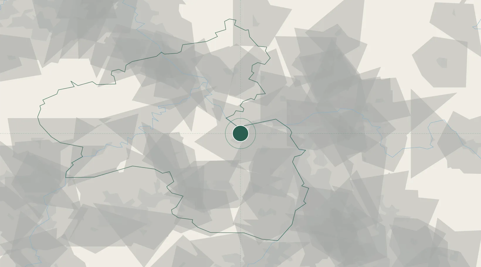
Place type
Local administrative seat
Region
Rheinland-Pfalz
Population
844
Time zone
Europe/Berlin
Elevation
88 m
Location
Nearby Logistics Neighbours
Cities
- 1Grolsheim1 km
- 2Rümmelsheim3 km
- 3Münster-Sarmsheim4 km
- 4Ockenheim5 km
- 5Bingen am Rhein6 km
Airports
- 1Mainz-Finthen Airfield19 km
- 2Wiesbaden Army Airfield34 km
- 3Frankfurt-Hahn Airport46 km
- 4Frankfurt Main Airport49 km
- 5Frankfurt-Egelsbach Airport53 km
Trade Zones
- 1ZFU La Cité Behren-lès-Forbach109 km
- 2Luxembourg Free Port124 km
- 3ZFU Hautepierre148 km
- 4ZFU Woippy-Metz152 km
- 5ZFU Neuhof153 km
DatabookThe Record of Consolidated Knowledge
Germany beyond logistics?