Transport Functions
Road
Multimodal
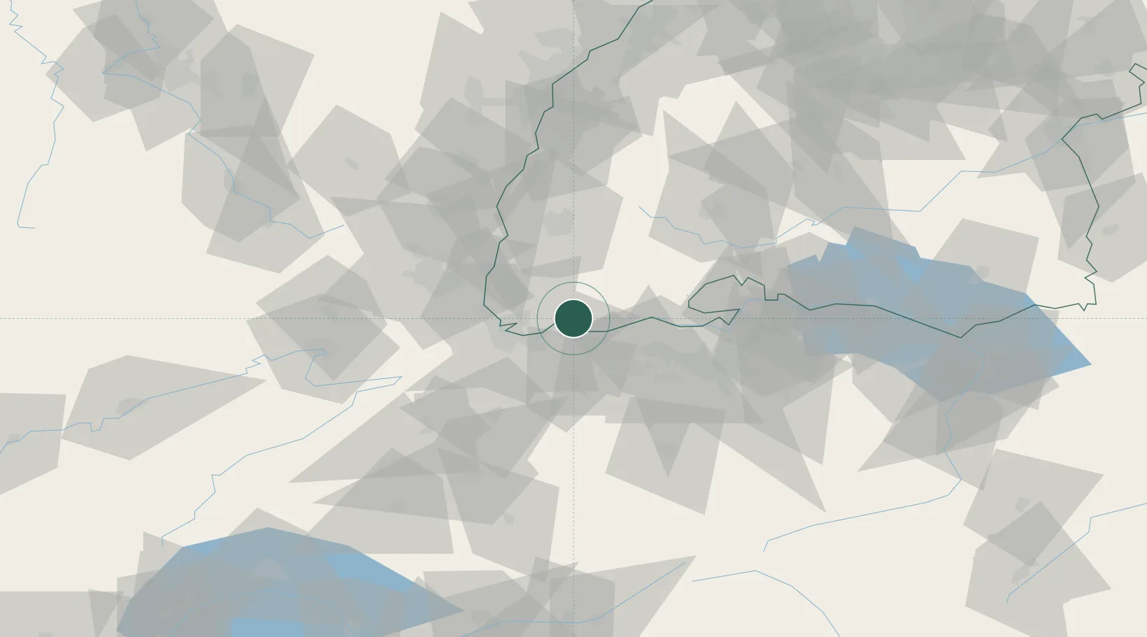
Hub Profile
Place type
Populated place
Region
Baden-Wurttemberg
Population
13,037
Time zone
Europe/Berlin
Elevation
358 m
Location
Nearby Logistics Neighbours
Cities
- 1Rickenbach6 km
- 2Mumpf8 km
- 3Maulburg10 km
- 4Zell im Wiesental10 km
- 5Stein10 km
Ports
- 1Genova367 km
- 2Savona370 km
- 3Rada Di Vado375 km
- 4Chiavari - Lavagna384 km
- 5Imperia415 km
Airports
- 1EuroAirport Basel–Mulhouse–Freiburg29 km
- 2Zürich Airport52 km
- 3Grenchen Airfield61 km
- 4Donaueschingen-Villingen Airfield61 km
- 5Dübendorf Air Base61 km
Trade Zones
- 1ZFU Mulhouse45 km
- 2ZFU Belfort82 km
- 3ZFU Montbéliard85 km
- 4ZFU Neuhof103 km
- 5ZFU Hautepierre110 km
DatabookThe Record of Consolidated Knowledge
Germany beyond logistics?