Transport Functions
Port
Road
Hub Profile
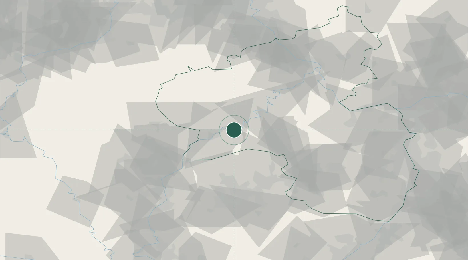
Place type
Local administrative seat
Region
Rheinland-Pfalz
Population
2,171
Time zone
Europe/Berlin
Elevation
154 m
Location
Nearby Logistics Neighbours
Cities
- 1Longen2 km
- 2Kenn7 km
- 3Neumagen-Dhron7 km
- 4Trier9 km
- 5Minheim11 km
Airports
- 1Spangdahlem Air Base21 km
- 2Frankfurt-Hahn Airport36 km
- 3Büchel Air Base45 km
- 4Luxembourg-Findel International Airport48 km
- 5Saarbrücken Airport69 km
Trade Zones
- 1Luxembourg Free Port46 km
- 2ZFU La Cité Behren-lès-Forbach71 km
- 3ZFU Woippy-Metz87 km
- 4ZFU Metz91 km
- 5Rheinische Revier SWZ127 km
DatabookThe Record of Consolidated Knowledge
Germany beyond logistics?