Transport Functions
Port
Rail
Road
Postal
Hub Profile
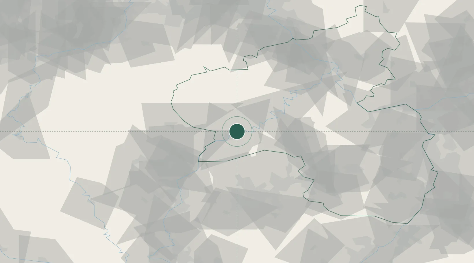
Place type
Local administrative seat
Region
Rheinland-Pfalz
Population
100,129
Time zone
Europe/Berlin
Elevation
141 m
Logistics facilities
1
Location
Nearby Logistics Neighbours
Cities
- 1Kenn2 km
- 2Longen6 km
- 3Mehring9 km
- 4Neumagen-Dhron15 km
- 5Wiltingen16 km
Airports
- 1Spangdahlem Air Base20 km
- 2Luxembourg-Findel International Airport40 km
- 3Frankfurt-Hahn Airport44 km
- 4Büchel Air Base50 km
- 5Saarbrücken Airport71 km
Trade Zones
- 1Luxembourg Free Port38 km
- 2ZFU La Cité Behren-lès-Forbach72 km
- 3ZFU Woippy-Metz82 km
- 4ZFU Metz86 km
- 5Rheinische Revier SWZ126 km
DatabookThe Record of Consolidated Knowledge
Germany beyond logistics?