Transport Functions
Port
Rail
Road
Hub Profile
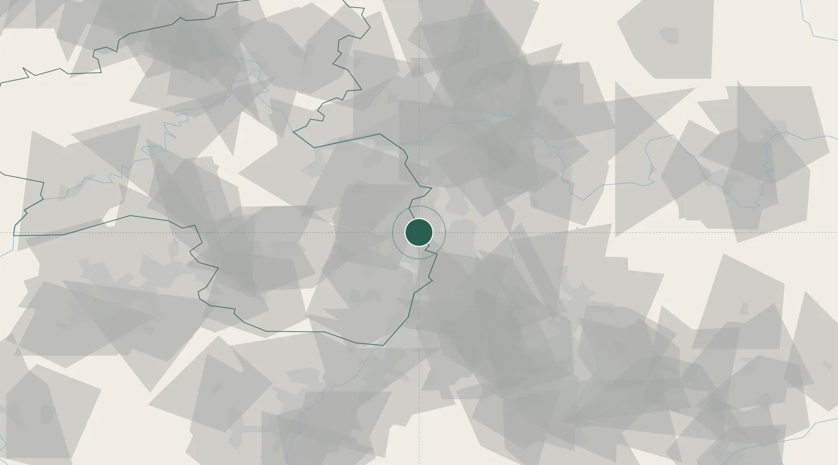
Place type
Urban district
Region
Baden-Wurttemberg
Time zone
Europe/Berlin
Elevation
405 m
Logistics facilities
1
Location
Nearby Logistics Neighbours
Cities
- 1Mannheim9 km
- 2Lambsheim10 km
- 3Viernheim11 km
- 4Neckarau11 km
- 5Fussgönheim12 km
Airports
- 1Mannheim-City Airport11 km
- 2Frankfurt-Egelsbach Airport49 km
- 3Mainz-Finthen Airfield51 km
- 4Frankfurt Main Airport55 km
- 5Wiesbaden Army Airfield57 km
Trade Zones
- 1ZFU La Cité Behren-lès-Forbach115 km
- 2ZFU Hautepierre118 km
- 3ZFU Neuhof121 km
- 4Luxembourg Free Port158 km
- 5ZFU Woippy-Metz170 km
DatabookThe Record of Consolidated Knowledge
Germany beyond logistics?