Transport Functions
Multimodal
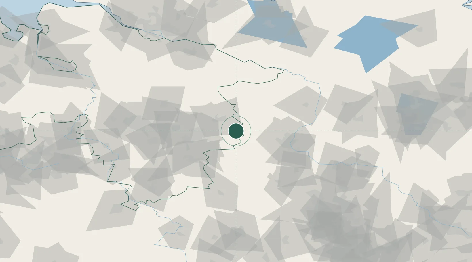
Hub Profile
Place type
Local administrative seat
Region
Lower Saxony
Population
1,138
Time zone
Europe/Berlin
Elevation
129 m
Location
Nearby Logistics Neighbours
Cities
- 1Helmstedt6 km
- 2Frellstedt9 km
- 3Harbke12 km
- 4Oebisfelde17 km
- 5Hötensleben19 km
Airports
- 1Braunschweig-Wolfsburg Airport29 km
- 2Celle Army Airfield74 km
- 3Zerbst Airfield86 km
- 4Faßberg Air Base89 km
- 5Hannover Airport90 km
Trade Zones
DatabookThe Record of Consolidated Knowledge
Germany beyond logistics?