UN/LOCODE hub · Germany
DEBZS

Beddingen

52.1833°, 10.4167°
3
Transport functions

Transport Functions

Port
Rail
Road
UN/LOCODE

Hub Profile

Place type
Populated place
GeoNames
Region
Lower Saxony
GeoNames
Time zone
Europe/Berlin
GeoNames
Elevation
88 m
GeoNames

Location

Location of DEBZS
Natural Earth 10m (public domain) · Lower Saxony · DEBZS · 52.18, 10.42GoogleOSMYandex

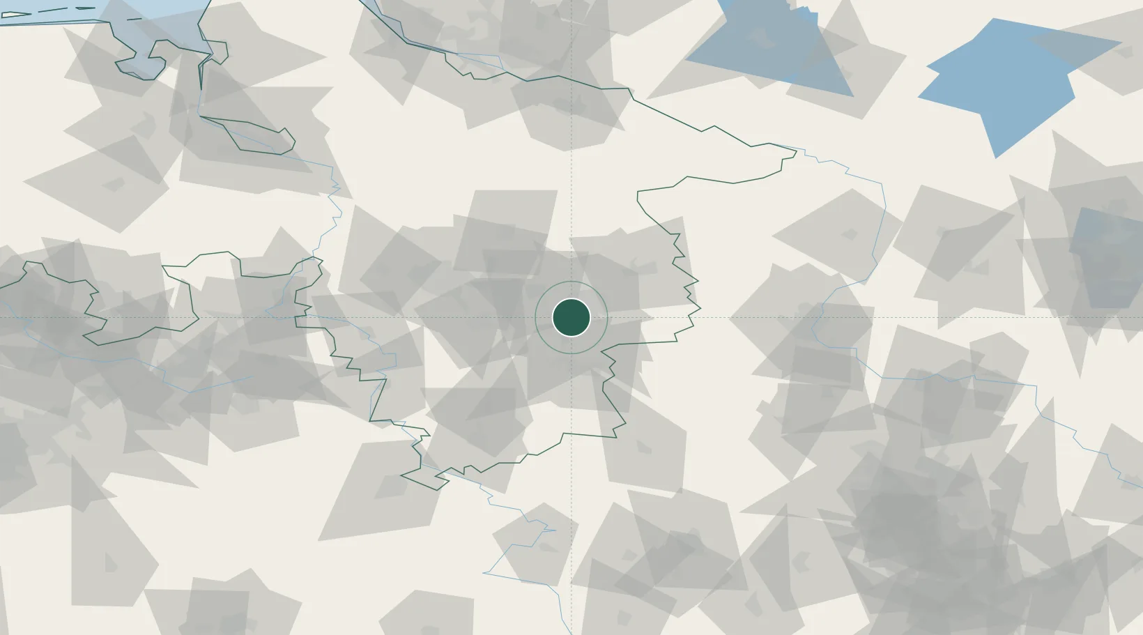
Nearby Logistics Neighbours

Cities
  1. 1Salzgitter8 km
  2. 2Lengede8 km
  3. 3Wedtlenstedt9 km
  4. 4Wolfenbüttel9 km
  5. 5Braunschweig11 km
Nearest neighbours — logibook spatial index (haversine) over the source coordinates
Ports
  1. 1Bremen153 km
  2. 2Hamburg155 km
  3. 3Butzfleth174 km
  4. 4Elsfleth176 km
  5. 5Oldenburg181 km
Nearest neighbours — logibook spatial index (haversine) over the source coordinates
Airports
  1. 1Braunschweig-Wolfsburg Airport18 km
  2. 2Celle Army Airfield53 km
  3. 3Hannover Airport59 km
  4. 4Wunstorf Air Base74 km
  5. 5Faßberg Air Base83 km
Nearest neighbours — logibook spatial index (haversine) over the source coordinates
Trade Zones
  1. 1Freeport of Bremerhaven (Freihafen Bremerhaven)150 km
  2. 2Freeport of Cuxhaven (Freihafen Cuxhaven)221 km
  3. 3Freeport of Kiel240 km
  4. 4Freeport of Emden252 km
  5. 5Freeport of Duisburg276 km
Nearest neighbours — logibook spatial index (haversine) over the source coordinates
DatabookThe Record of Consolidated Knowledge
Germany beyond logistics?
Browse databook

All Sources

LocationsUN/LOCODE
UN/LOCODE — free
Portsthe NGA World Port Index
Public domain (US gov)
AirportsOurAirports
Public domain
Trade Zonesthe World Bank SEZ database
CC BY 4.0
Trade ZonesOpen Zone Map
CC BY
← Germany locations