Transport Functions
Road
Multimodal
Postal
Hub Profile
Region
BB
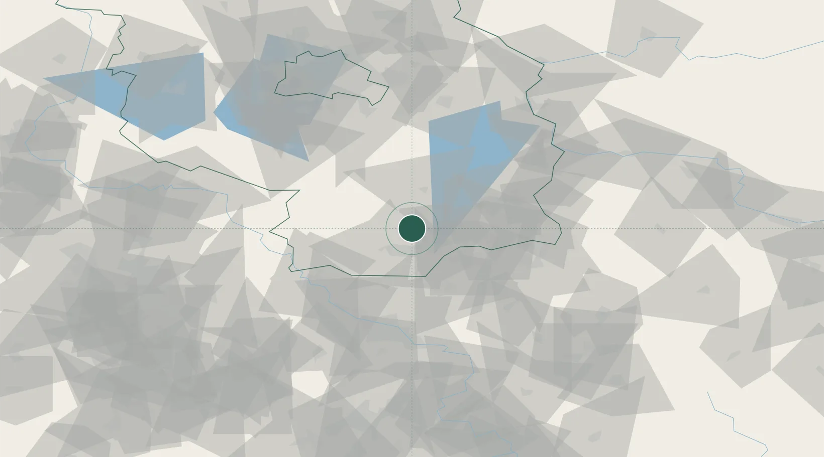
Location
Nearby Logistics Neighbours
Cities
- 1Grossräschen10 km
- 2Massen11 km
- 3Finsterwalde/Niederlausitz12 km
- 4Calau13 km
- 5Lauchhammer16 km
Ports
- 1Szczecin203 km
- 2Police220 km
- 3Swinoujscie255 km
- 4Wolgast269 km
- 5Rostock298 km
Airports
- 1Holzdorf Air Base52 km
- 2Dresden Airport56 km
- 3Rothenburg/Görlitz Airfield80 km
- 4Berlin Brandenburg Airport85 km
- 5Leipzig/Halle Airport117 km
Trade Zones
DatabookThe Record of Consolidated Knowledge
Germany beyond logistics?