Transport Functions
Port
Rail
Road
Hub Profile
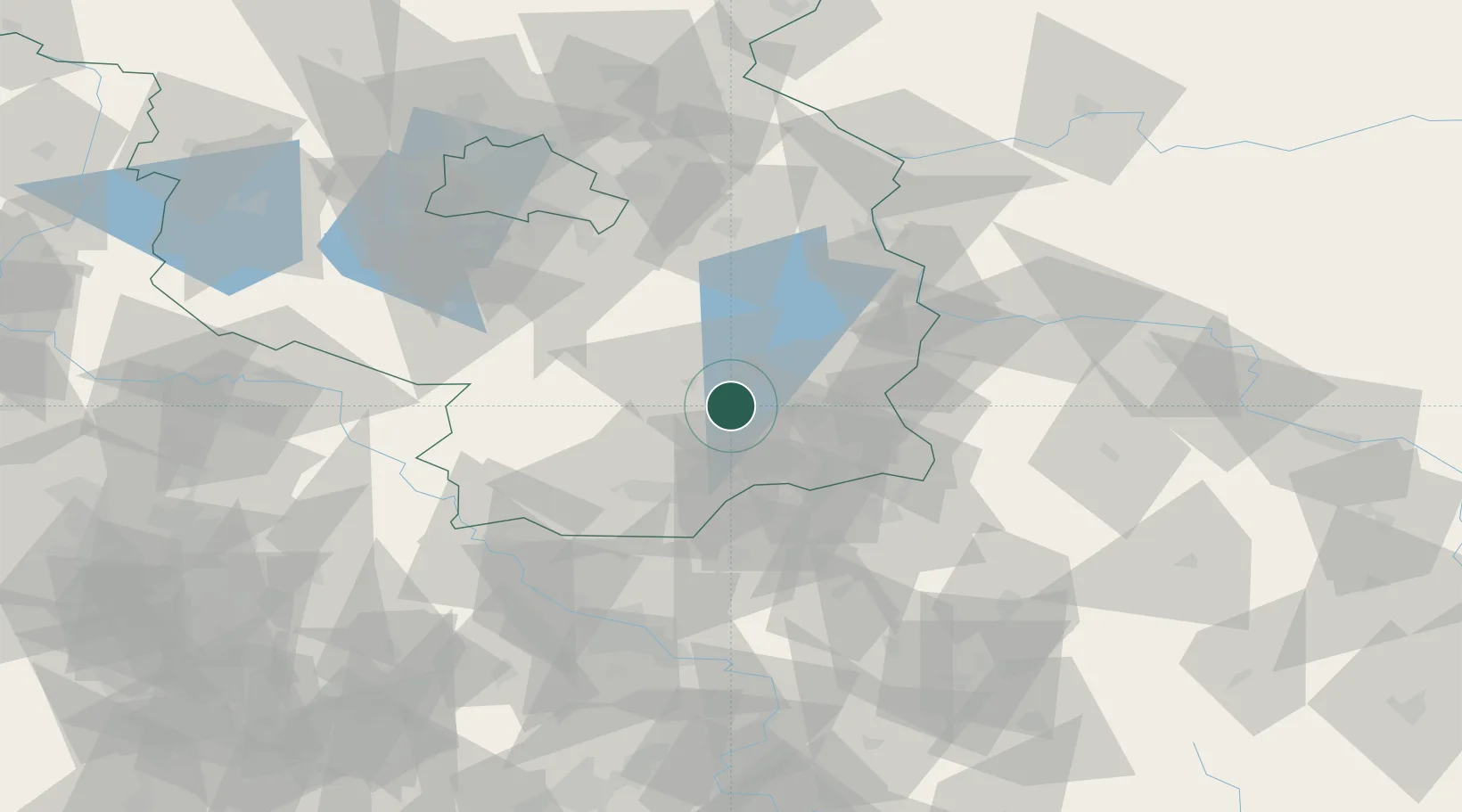
Place type
Populated place
Region
Brandenburg
Population
9,857
Time zone
Europe/Berlin
Elevation
64 m
Location
Nearby Logistics Neighbours
Cities
- 1Calau11 km
- 2Lübbenau12 km
- 3Cottbus17 km
- 4Drebkau17 km
- 5Sallgast - Göllnitz22 km
Ports
- 1Szczecin184 km
- 2Police201 km
- 3Swinoujscie238 km
- 4Wolgast253 km
- 5Kolobrzeg288 km
Airports
- 1Holzdorf Air Base63 km
- 2Dresden Airport75 km
- 3Berlin Brandenburg Airport76 km
- 4Rothenburg/Görlitz Airfield76 km
- 5Zielona Góra-Babimost Airport124 km
Trade Zones
- 1Kostrzyń-Słubice SEZ98 km
- 2Legnica SEZ (Legnicka SSE)140 km
- 3Most - Joseph Industrial Zone148 km
- 4Žatec - Triangle Strategic Industrial Zone159 km
- 5Kamienna Góra175 km
DatabookThe Record of Consolidated Knowledge
Germany beyond logistics?