Transport Functions
Rail
Road
Hub Profile
Place type
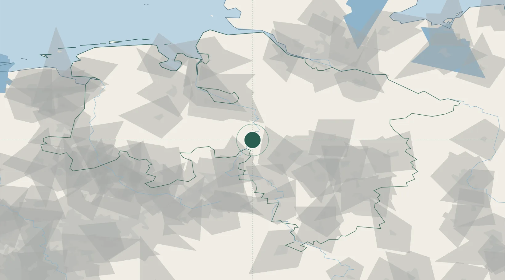
Populated place
Region
Lower Saxony
Time zone
Europe/Berlin
Elevation
31 m
Location
Nearby Logistics Neighbours
Cities
- 1Liebenau3 km
- 2Landesbergen4 km
- 3Steyerberg10 km
- 4Schweringen17 km
- 5Kirchdorf (bei Sulingen)21 km
Airports
- 1Wunstorf Air Base25 km
- 2Bückeburg Air Base36 km
- 3Hannover Airport39 km
- 4Diepholz Air Base55 km
- 5Bremen Airport55 km
Trade Zones
DatabookThe Record of Consolidated Knowledge
Germany beyond logistics?