Transport Functions
Multimodal
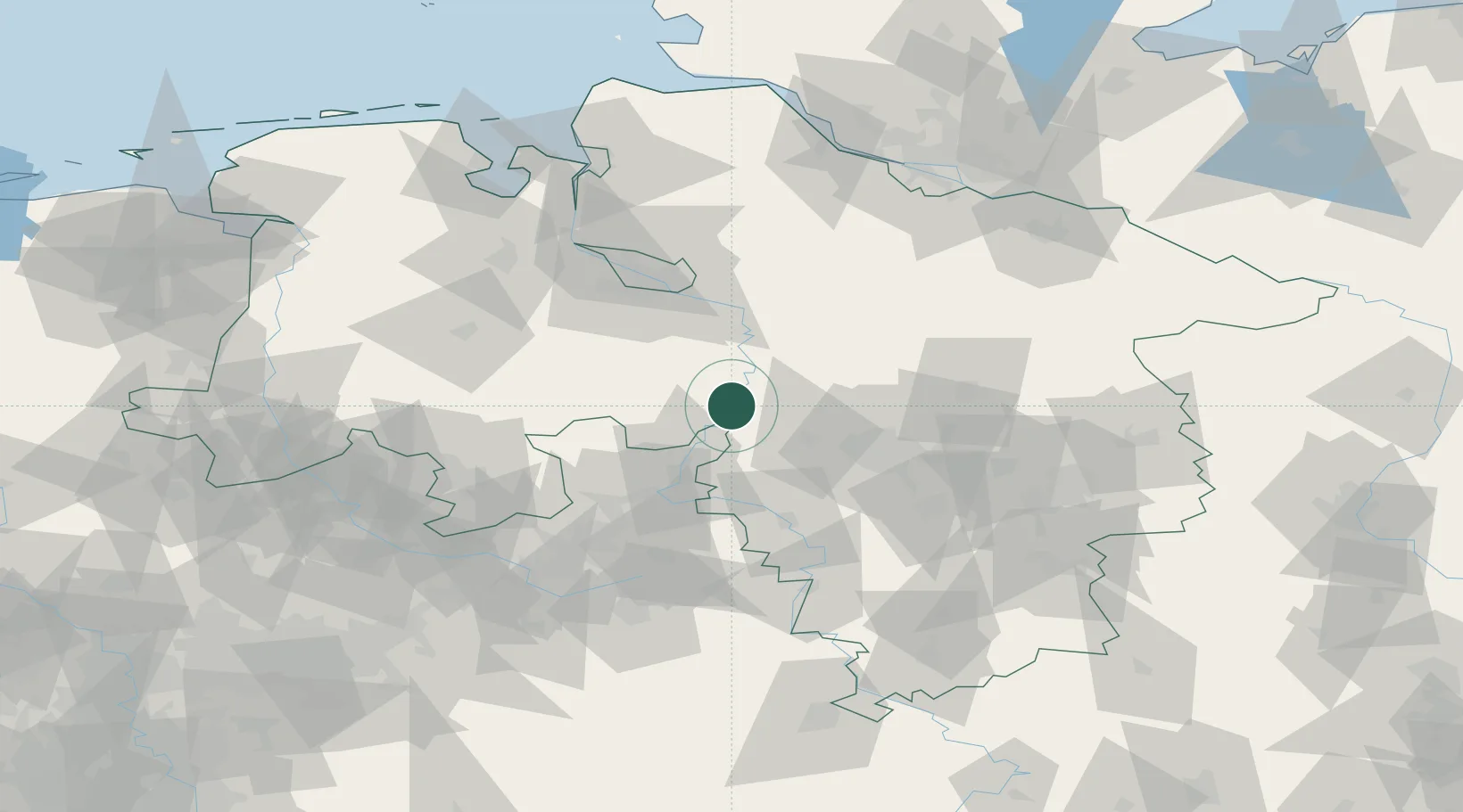
Hub Profile
Place type
Local administrative seat
Region
Lower Saxony
Population
2,996
Time zone
Europe/Berlin
Elevation
30 m
Location
Nearby Logistics Neighbours
Cities
- 1Leeseringen4 km
- 2Liebenau4 km
- 3Steyerberg8 km
- 4Hagenburg20 km
- 5Windheim20 km
Airports
- 1Wunstorf Air Base23 km
- 2Bückeburg Air Base32 km
- 3Hannover Airport39 km
- 4Diepholz Air Base54 km
- 5Bremen Airport58 km
Trade Zones
DatabookThe Record of Consolidated Knowledge
Germany beyond logistics?