Transport Functions
Port
Road
Hub Profile
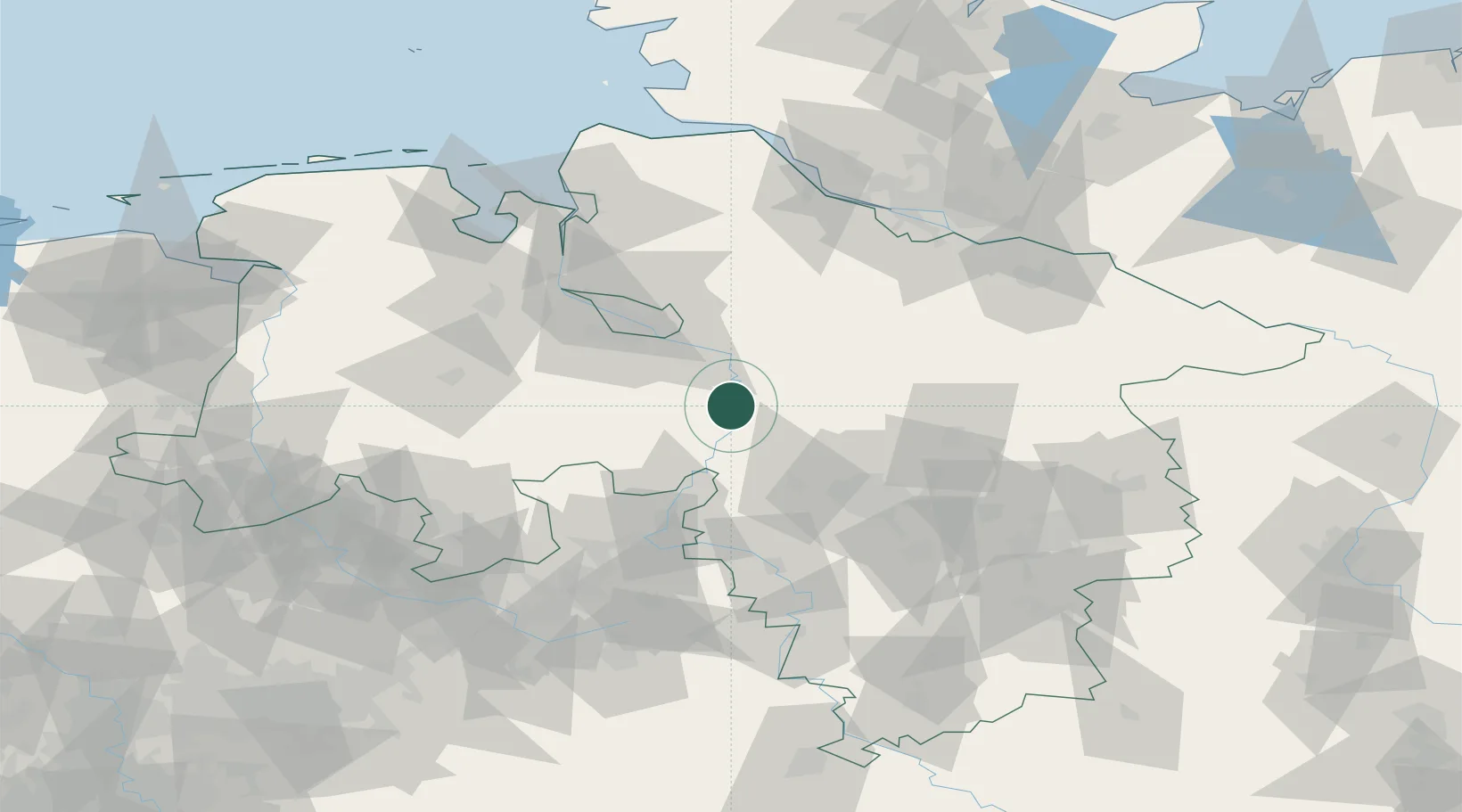
Place type
Local administrative seat
Region
Lower Saxony
Population
912
Time zone
Europe/Berlin
Elevation
23 m
Location
Nearby Logistics Neighbours
Cities
- 1Dörverden12 km
- 2Rethem14 km
- 3Häuslingen15 km
- 4Bruchhausen-Vilsen16 km
- 5Leeseringen17 km
Airports
- 1Wunstorf Air Base37 km
- 2Bremen Airport42 km
- 3Hannover Airport47 km
- 4Bückeburg Air Base53 km
- 5Celle Army Airfield59 km
Trade Zones
DatabookThe Record of Consolidated Knowledge
Germany beyond logistics?