Transport Functions
Port
Rail
Road
Hub Profile
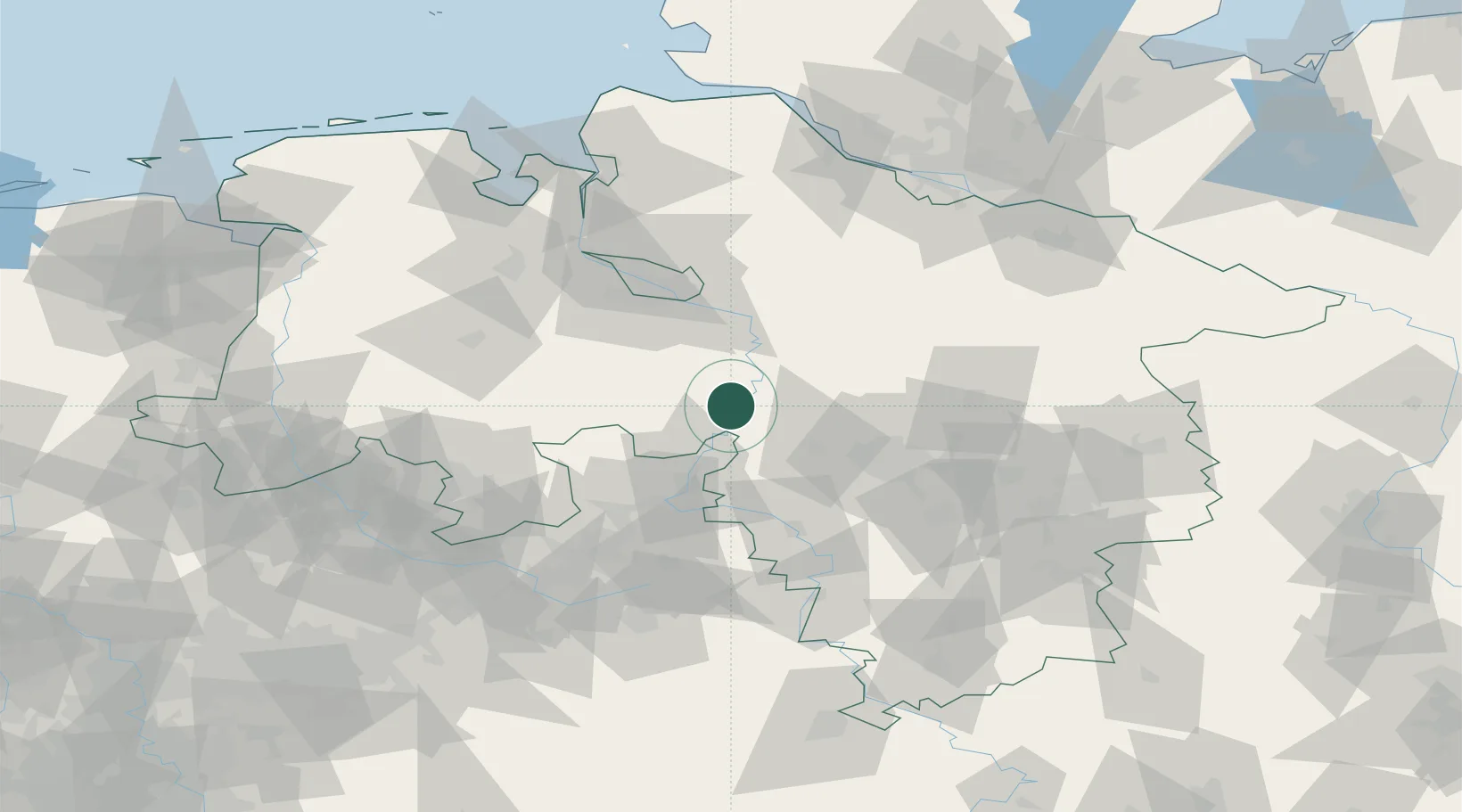
Place type
Populated place
Region
Lower Saxony
Population
4,009
Time zone
Europe/Berlin
Elevation
30 m
Location
Nearby Logistics Neighbours
Cities
- 1Leeseringen3 km
- 2Landesbergen4 km
- 3Steyerberg7 km
- 4Schweringen18 km
- 5Kirchdorf (bei Sulingen)18 km
Airports
- 1Wunstorf Air Base27 km
- 2Bückeburg Air Base36 km
- 3Hannover Airport43 km
- 4Diepholz Air Base51 km
- 5Bremen Airport54 km
Trade Zones
DatabookThe Record of Consolidated Knowledge
Germany beyond logistics?