Transport Functions
Port
Rail
Road
Hub Profile
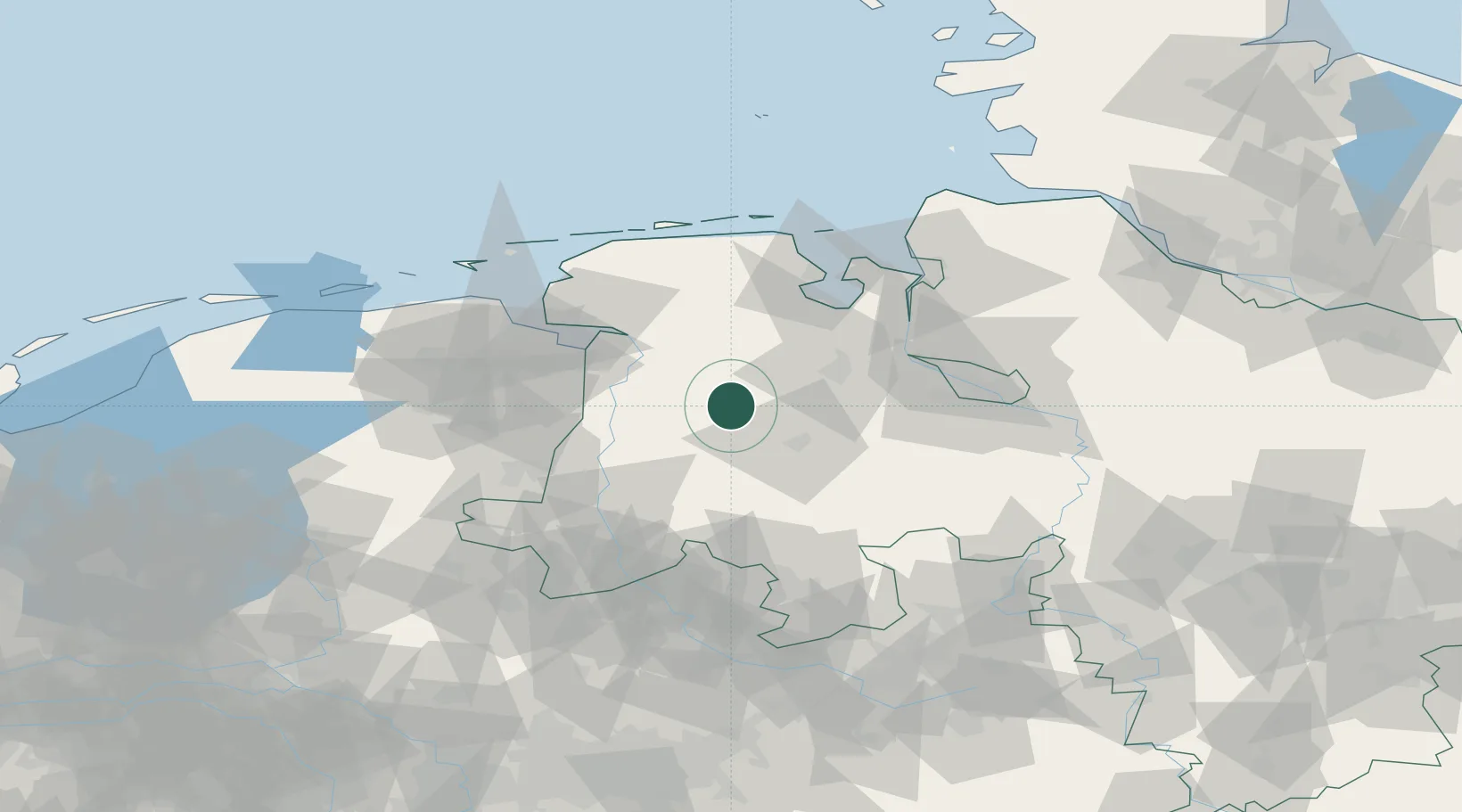
Place type
Populated place
Region
Lower Saxony
Time zone
Europe/Berlin
Elevation
6 m
Location
Nearby Logistics Neighbours
Cities
- 1Sedelsberg4 km
- 2Friesoythe5 km
- 3Bösel11 km
- 4Edewechterdamm13 km
- 5Lorup13 km
Airports
- 1Emden Airport56 km
- 2Wittmundhafen Air Base60 km
- 3Diepholz Air Base61 km
- 4Bremen Airport67 km
- 5Harlesiel Airfield77 km
Trade Zones
DatabookThe Record of Consolidated Knowledge
Germany beyond logistics?