Transport Functions
Rail
Road
Hub Profile
Place type
Local administrative seat
Region
Lower Saxony
Population
10,487
Time zone
Europe/Berlin
Elevation
49 m
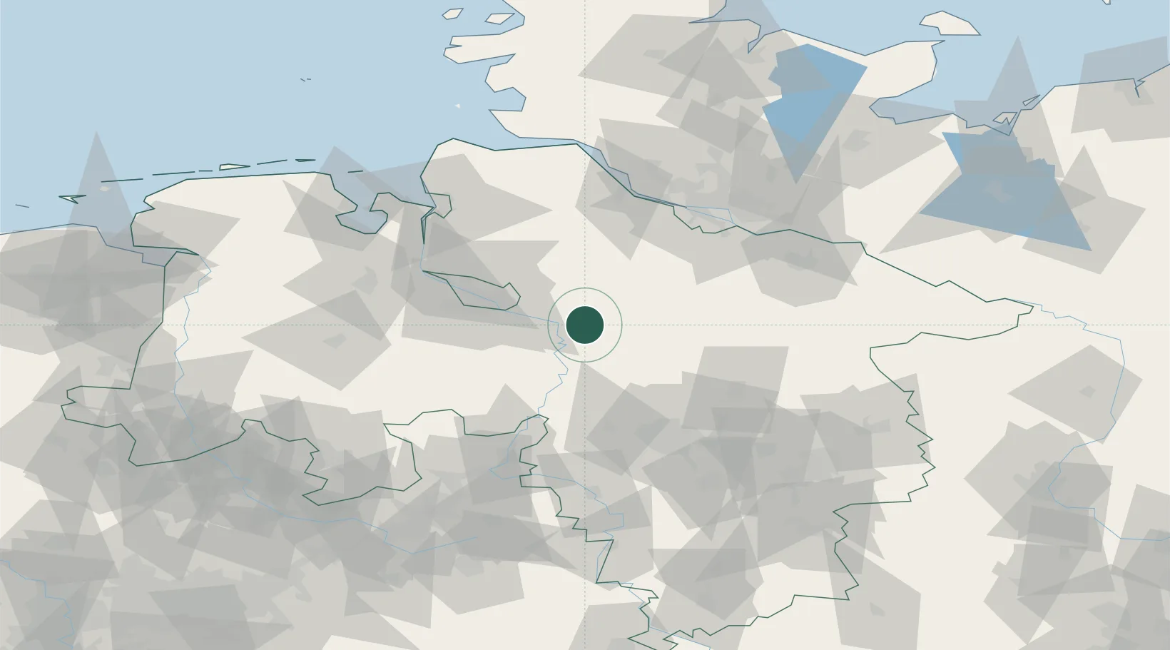
Location
Nearby Logistics Neighbours
Cities
- 1Langwedel7 km
- 2Kirchwalsede9 km
- 3Dörverden12 km
- 4Blender13 km
- 5Häuslingen17 km
Airports
- 1Bremen Airport37 km
- 2Wunstorf Air Base55 km
- 3Faßberg Air Base58 km
- 4Hannover Airport60 km
- 5Celle Army Airfield62 km
Trade Zones
DatabookThe Record of Consolidated Knowledge
Germany beyond logistics?