Transport Functions
Rail
Road
Hub Profile
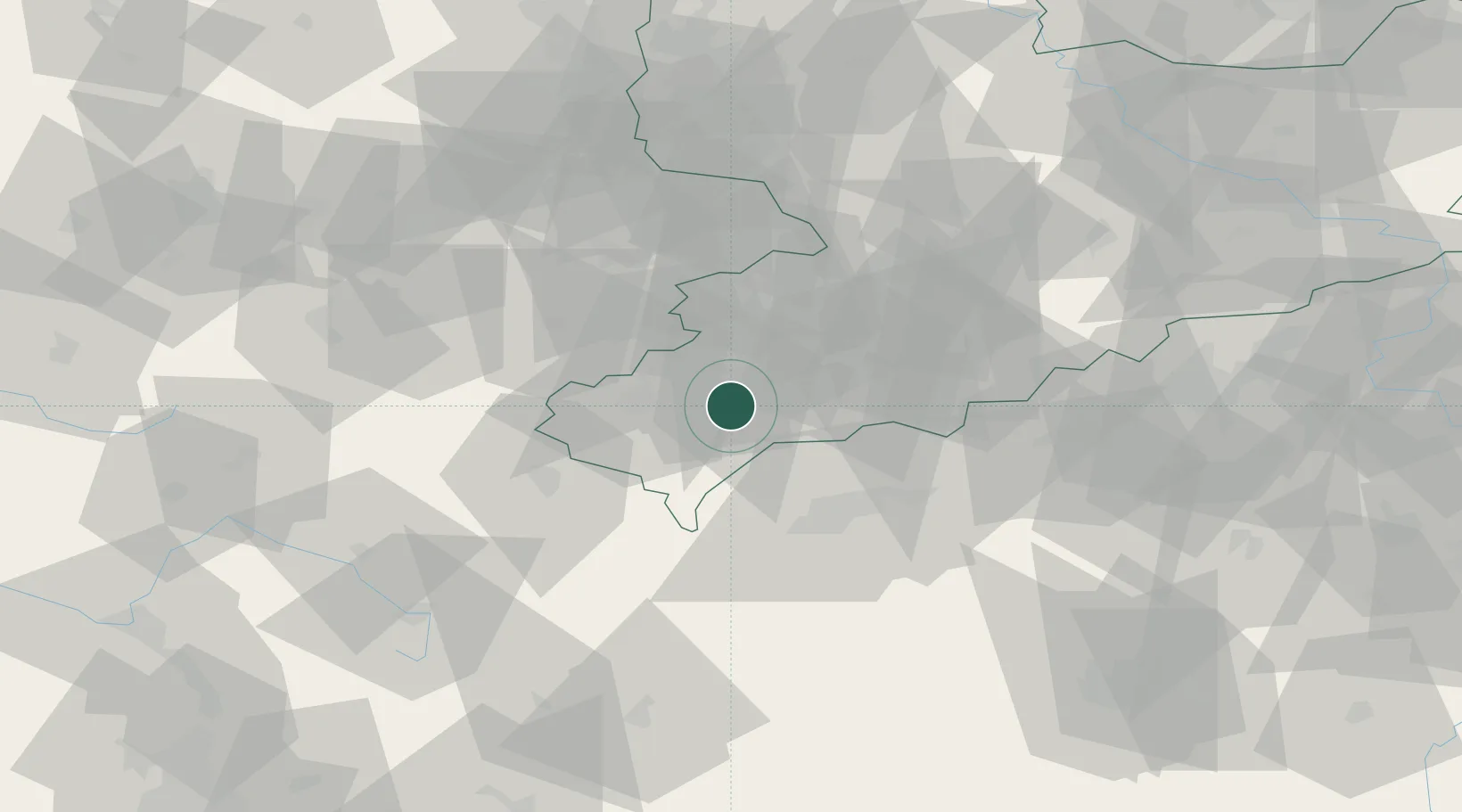
Place type
Local administrative seat
Region
Saxony
Population
3,077
Time zone
Europe/Berlin
Elevation
504 m
Location
Nearby Logistics Neighbours
Cities
- 1Falkenstein2 km
- 2Rodewisch6 km
- 3Lengenfeld10 km
- 4Heinsdorfergrund14 km
- 5Eibenstock15 km
Airports
- 1Hof-Plauen Airport44 km
- 2Karlovy Vary Airport48 km
- 3Leipzig–Altenburg Airport56 km
- 4Bayreuth Airport77 km
- 5Grafenwöhr Army Air Field93 km
Trade Zones
DatabookThe Record of Consolidated Knowledge
Germany beyond logistics?